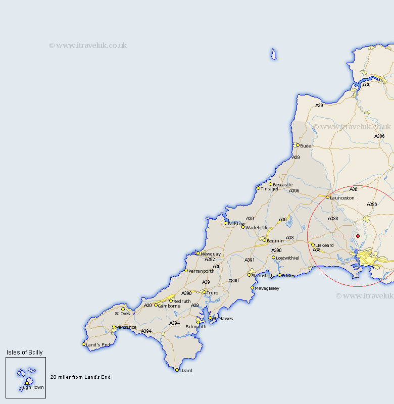
Cornwall Map Showing Location of Calstock
Population: 6095
District: Caradon
Easting: 243940 Northing: 67210
Latitude: 50.48 Longitude: -4.2
 = Calstock
District: Caradon
Easting: 243940 Northing: 67210
Latitude: 50.48 Longitude: -4.2
= Calstock
This Calstock map below is supplied by Google. Use the tools in the top left corner to zoom into street level or zoom out for a road map, you may also need to zoom in to see Calstock on the map. Click and drag the map to move around. If the map fails to load try and refresh your browser or zoom in or out (+ or -).
Update - it seems Google no longer allow people to use their maps for free! This Calstock map sometimes loads and sometimes gives a error. I am working on a solution.
Closest 30 Towns or Cities to Calstock (Population over 500)
Callington 7.31km Saltash 7.5km Torpoint 12.96km Millbrook 13.02km Linkinhorne 13.03km Sherviock 14.25km Sheviock 14.25km Lezant 15.36km Menheniot 16.31km Liskeard 18.08km North Hill 18.09km South Petherwin 19.69km Launceston 20.42km Morval 20.91km Lewannick 20.98km Dobwalls 22.72km West Looe 22.76km Looe 22.76km Duloe 22.94km Altarnun 26.89km Pelynt 26.94km North Petherwin 27.68km Lanreath 28.25km Lansallos 29.03km Cardinham 31.84km Cardingham 31.84km Lanteglos 33.91km Lostwithiel 34.32km Blisland 34.39km Fowey 34.95km