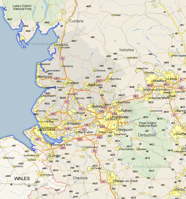
Lancashire Map Showing Location of Atherton
Population: 21290
Area Size (ha): 431
District: Wigan
Easting: 366850 Northing: 402368
Latitude: 53.52 Longitude: -2.5
 = Atherton
Area Size (ha): 431
District: Wigan
Easting: 366850 Northing: 402368
Latitude: 53.52 Longitude: -2.5
= Atherton
This Atherton map below is supplied by Google. Use the tools in the top left corner to zoom into street level or zoom out for a road map, you may also need to zoom in to see Atherton on the map. Click and drag the map to move around. If the map fails to load try and refresh your browser or zoom in or out (+ or -).
Update - it seems Google no longer allow people to use their maps for free! This Atherton map sometimes loads and sometimes gives a error. I am working on a solution.
Closest 30 Towns or Cities to Atherton (Population over 500)
Tyldesley 2.2km Westhoughton 3.86km Leigh 3.87km Abram 5.51km Hindley 5.81km Walkden 6.61km Farnworth 7.58km Kearsley 7.93km Wigan 7.93km Ince 7.93km Ince-in-Makerfield 7.93km Bolton 8.62km Golborne 8.64km Blackrod 9.23km Little Lever 9.56km Horwich 9.83km Swinton 10.09km Ashton 10.59km Ashton in Makerfield 10.59km Haigh 10.78km Irlam 10.79km Pendlebury 11.02km Bromley Cross 11.38km Bradshaw 11.38km Adlington 11.38km Radcliffe 11.62km Eccles 11.63km Haydock 12.35km Urmston 12.39km Standish 13.27km