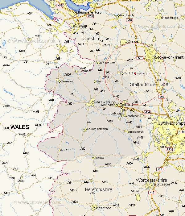
Shropshire Map Showing Location of Broughton
Population: 1142
District: North Shropshire
Easting: 376459 Northing: 333710
Latitude: 52.9 Longitude: -2.35
 = Broughton
District: North Shropshire
Easting: 376459 Northing: 333710
Latitude: 52.9 Longitude: -2.35
= Broughton
This Broughton map below is supplied by Google. Use the tools in the top left corner to zoom into street level or zoom out for a road map, you may also need to zoom in to see Broughton on the map. Click and drag the map to move around. If the map fails to load try and refresh your browser or zoom in or out (+ or -).
Update - it seems Google no longer allow people to use their maps for free! This Broughton map sometimes loads and sometimes gives a error. I am working on a solution.
Closest 30 Towns or Cities to Broughton (Population over 500)
Cheswardine 5.81km Market Drayton 7.83km Norton in Hales 8.71km Woore 9.85km Hinstock 10km Newport 13.17km Chetwynd 13.4km Stoke 13.5km Stoke upon Tern 13.5km Edgmond 15.48km Hodnet 16.62km Cherrington 17.92km Woodcote 18.57km Lilleshall 18.84km Donnington 21.14km Downington 21.14km Prees 21.33km Precs 21.33km Trench 21.84km Stanton upon Hine Heath 22.17km Stanton 22.17km Oakengates 22.93km Whitchurch 23.54km High Ercall 23.67km Ercall Magna 23.67km Shawbury 23.97km Hadley 23.98km Ketley 23.98km Whixall 24.59km Wellington 24.9km