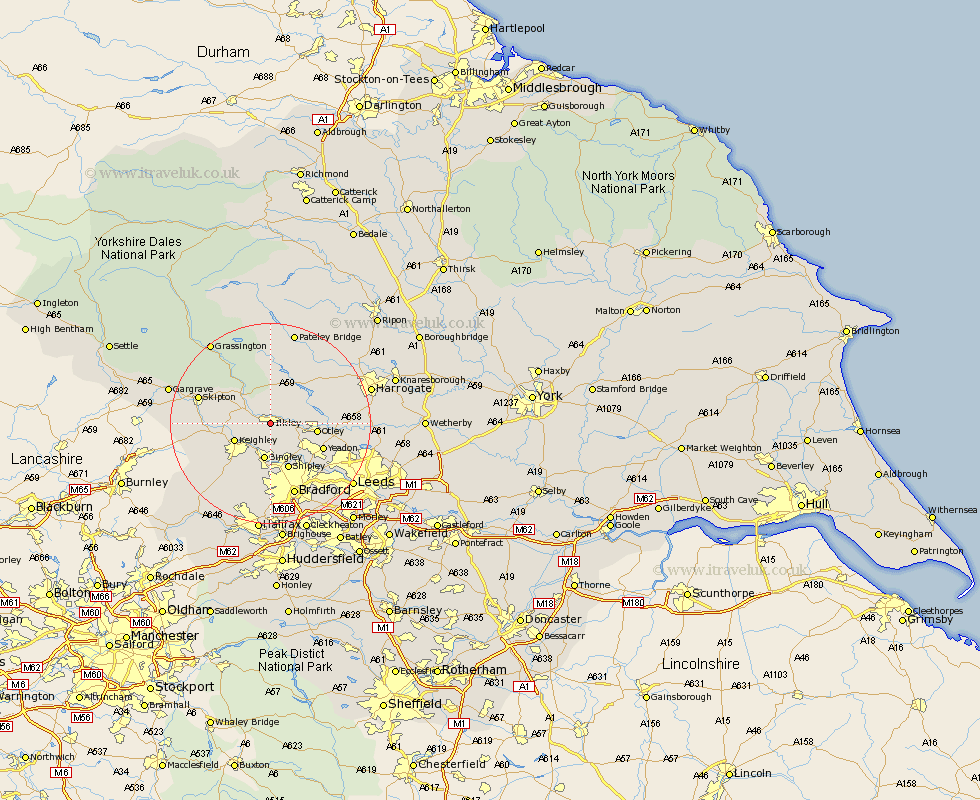
Yorkshire Map Showing Location of Ilkley
Population: 13207
Area Size (ha): 421
District: Bradford
Easting: 412040 Northing: 446766
Latitude: 53.92 Longitude: -1.82
 = Ilkley
Area Size (ha): 421
District: Bradford
Easting: 412040 Northing: 446766
Latitude: 53.92 Longitude: -1.82
= Ilkley
This Ilkley map below is supplied by Google. Use the tools in the top left corner to zoom into street level or zoom out for a road map, you may also need to zoom in to see Ilkley on the map. Click and drag the map to move around. If the map fails to load try and refresh your browser or zoom in or out (+ or -).
Update - it seems Google no longer allow people to use their maps for free! This Ilkley map sometimes loads and sometimes gives a error. I am working on a solution.
Closest 30 Towns or Cities to Ilkley (Population over 500)
Burley in Wharfedale 4.37km Burley 4.37km Addingham 4.74km Menston 6.6km Bingley 7.5km Keighley 7.53km Silsden 7.86km Baildon 8.11km Guiseley 8.59km Otley 8.93km Steeton 9.49km Shipley 9.84km Yeadon 11.29km Sutton-in-Craven 11.53km Wilsden 11.59km Glusburn 12.15km Embsay 12.24km Cullingworth 12.39km Cononley 13.1km Pool-in-Wharfedale 13.23km Poole 13.23km Pool 13.23km Bramhope 13.62km Haworth 14.15km Skipton 14.22km Arthington 14.31km Arthington Junction Station 14.31km Darley 15.04km Horsforth 15.18km Carleton 15.39km