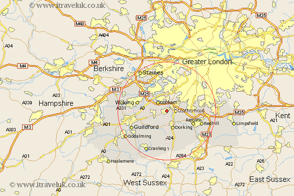
Surrey Map Showing Location of Bookham
District: Mole Valley
Easting: 513896 Northing: 155118
Latitude: 51.28 Longitude: -0.37
 = Bookham
Easting: 513896 Northing: 155118
Latitude: 51.28 Longitude: -0.37
= Bookham
This Bookham map below is supplied by Google. Use the tools in the top left corner to zoom into street level or zoom out for a road map, you may also need to zoom in to see Bookham on the map. Click and drag the map to move around. If the map fails to load try and refresh your browser or zoom in or out (+ or -).
Update - it seems Google no longer allow people to use their maps for free! This Bookham map sometimes loads and sometimes gives a error. I am working on a solution.
Closest 30 Towns or Cities to Bookham (Population over 500)
Leatherhead 3.48km Oxshott 3.89km Effingham 4.37km Mickleham 5.08km Cobham 5.09km Church Cobham 5.09km East Horsley 5.93km Horsley 5.93km West Horsley 6.08km Esher 7.42km Westcott 7.5km Claygate 7.51km Dorking 7.76km Ripley 8.11km Byfleet 8.9km Tadworth 9.27km Wotton 9.33km Buckland 9.84km Betchworth 9.84km West Clandon 9.99km Abinger 11.36km Shere 11.59km Weybridge 11.59km Send 11.59km Holmwood 11.65km Reigate 11.83km Walton 12.05km Walton upon Thames 12.05km Woking 12.17km Addlestone 12.32km