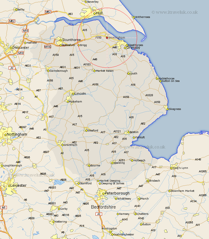
Lincolnshire Map Showing Location of Immingham
Population: 11973
Area Size (ha): 1370
Easting: 517997 Northing: 412997
Latitude: 53.6 Longitude: -0.22
 = Immingham
Area Size (ha): 1370
Easting: 517997 Northing: 412997
Latitude: 53.6 Longitude: -0.22
= Immingham
This Immingham map below is supplied by Google. Use the tools in the top left corner to zoom into street level or zoom out for a road map, you may also need to zoom in to see Immingham on the map. Click and drag the map to move around. If the map fails to load try and refresh your browser or zoom in or out (+ or -).
Update - it seems Google no longer allow people to use their maps for free! This Immingham map sometimes loads and sometimes gives a error. I am working on a solution.
Closest 30 Towns or Cities to Immingham (Population over 500)
Habrough 2.2km Stallingborough 2.88km South Killingholme 3.86km Keelby 4.31km Healing 4.96km Ulceby 7.92km Laceby 8.12km East Halton 8.62km Great Coates 9.55km Goxhill 10.69km Waltham 12.05km Barnetby le Wold 12.66km Barnetby 12.66km Great Grimsby 13.27km Grimsby 13.27km Cleethorpes 13.32km Holton le Clay 13.56km Humberstone 14.2km Humberston 14.2km Barrow upon Humber 14.37km Barrow 14.37km Barrow-on-Humber 14.37km Barrow-upon-Humber 14.37km Barrow on Humber 14.37km Nettleton 14.56km Caistor 14.56km New Holland 14.88km Wrawby 16.91km Brigg 18.46km North Thoresby 18.47km