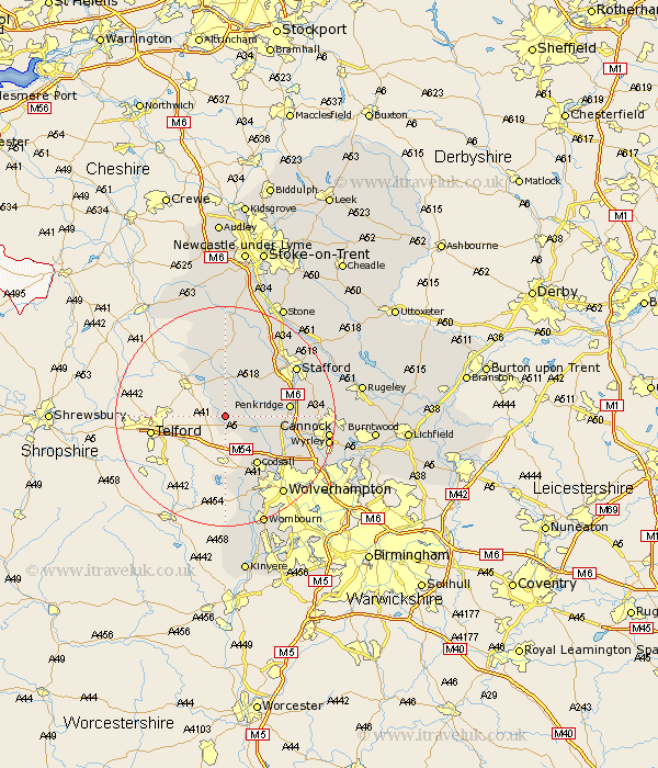
Staffordshire Map Showing Location of Blymhill
Population: 654
District: South Staffordshire
Easting: 380863 Northing: 313302
Latitude: 52.72 Longitude: -2.28
 = Blymhill
District: South Staffordshire
Easting: 380863 Northing: 313302
Latitude: 52.72 Longitude: -2.28
= Blymhill
This Blymhill map below is supplied by Google. Use the tools in the top left corner to zoom into street level or zoom out for a road map, you may also need to zoom in to see Blymhill on the map. Click and drag the map to move around. If the map fails to load try and refresh your browser or zoom in or out (+ or -).
Update - it seems Google no longer allow people to use their maps for free! This Blymhill map sometimes loads and sometimes gives a error. I am working on a solution.
Closest 30 Towns or Cities to Blymhill (Population over 500)
Weston under Lizard 1.86km Weston 1.86km Weston-under-Lizard 1.86km Wheaton Aston 4.49km Church Eaton 5km Gnosall 7.74km Gnossall 7.74km Brewood 8.69km Haughton 9.29km Codsall 10.84km Penkridge 11.37km Seighford 13km High Offley 13.39km Adbaston 13.72km Shareshill 14.58km Pattingham 14.88km Eccleshall 14.99km Stafford 15.43km Bednall 15.61km Seisdon 16.83km Scisdon 16.83km Huntington 16.94km Lower Penn 17.6km Hopton 17.89km Wolverhampton 17.96km Cannock 18.35km Wyrley 18.73km Great Wyrley 18.73km Hednesford 19.18km Wombourne 21.48km