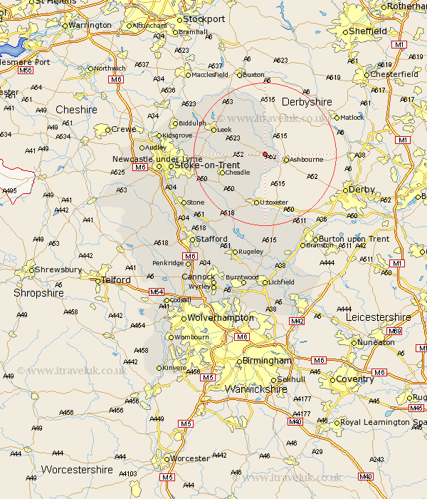
Staffordshire Map Showing Location of Blore
Population: 123
District: Staffordshire Moorlands
Easting: 412292 Northing: 348496
Latitude: 53.03 Longitude: -1.82
 = Blore
District: Staffordshire Moorlands
Easting: 412292 Northing: 348496
Latitude: 53.03 Longitude: -1.82
= Blore
This Blore map below is supplied by Google. Use the tools in the top left corner to zoom into street level or zoom out for a road map, you may also need to zoom in to see Blore on the map. Click and drag the map to move around. If the map fails to load try and refresh your browser or zoom in or out (+ or -).
Update - it seems Google no longer allow people to use their maps for free! This Blore map sometimes loads and sometimes gives a error. I am working on a solution.
Closest 30 Towns or Cities to Blore (Population over 500)
Waterhouses 3.34km Mayfield 4.99km Oakamoor 7.65km Denston 7.73km Denstone 7.73km Alton 8.65km Rocester 9.33km Ipstones 10.03km Kingsley 11.3km Cheadle 12.46km Checkley 14.26km Cheddleton 14.6km Uttoxeter 14.99km Leek 15.28km Draycott in the Moors 16.28km Draycott 16.28km Church Leigh 16.4km Leigh 16.4km Caverswall 17.63km Marchington 18.56km Fulford 19.13km Horton 20.08km Endon 20.8km Hilderstone 22.07km Hatton 22.25km Tutbury 22.26km Hanbury 22.93km Abbots Bromley 24.5km Stoke-upon-Trent 24.81km Stoke 24.81km