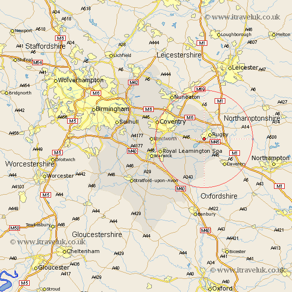
Warwickshire Map Showing Location of Bilton
District: Rugby
Easting: 448810 Northing: 272721
Latitude: 52.35 Longitude: -1.28
 = Bilton
Easting: 448810 Northing: 272721
Latitude: 52.35 Longitude: -1.28
= Bilton
This Bilton map below is supplied by Google. Use the tools in the top left corner to zoom into street level or zoom out for a road map, you may also need to zoom in to see Bilton on the map. Click and drag the map to move around. If the map fails to load try and refresh your browser or zoom in or out (+ or -).
Update - it seems Google no longer allow people to use their maps for free! This Bilton map sometimes loads and sometimes gives a error. I am working on a solution.
Closest 30 Towns or Cities to Bilton (Population over 500)
Dunchurch 1.86km Long Lawford 2.17km Rugby 2.93km Clifton-on-Dunsmore 5.85km Clifton on Dunsmore 5.85km Clifton 5.85km Clifton upon Dunsmore 5.85km Wolston 7.04km Brinklow 7.17km Brandon 8.14km Stockton 10.31km Long Itchington 11.49km Bubbenhall 12.59km Southam 13.03km Napton-on-the-Hill 13.17km Napton 13.17km Napton on the Hill 13.17km Shilton 13.65km Baginton 13.71km Bulkington 15.82km Stoneleigh 15.85km Wolvey 15.86km Priors Marston 16.68km Harbury 17.23km Leamington 17.88km Royal Leamington Spa 17.88km Leamington Spa 17.88km Bedworth 17.97km Keresley 19.33km Whitnash 19.38km