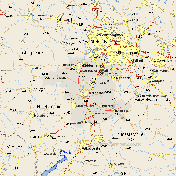
Worcestershire Map Showing Location of Bentley
Population: 359
District: Bromsgrove
Easting: 400000 Northing: 265061
Latitude: 52.28 Longitude: -2
 = Bentley
District: Bromsgrove
Easting: 400000 Northing: 265061
Latitude: 52.28 Longitude: -2
= Bentley
This Bentley map below is supplied by Google. Use the tools in the top left corner to zoom into street level or zoom out for a road map, you may also need to zoom in to see Bentley on the map. Click and drag the map to move around. If the map fails to load try and refresh your browser or zoom in or out (+ or -).
Update - it seems Google no longer allow people to use their maps for free! This Bentley map sometimes loads and sometimes gives a error. I am working on a solution.
Closest 30 Towns or Cities to Bentley (Population over 500)
Hanbury 3.87km Feckenham 3.87km Redditch 4.9km Radditch 4.9km Stoke Prior 4.9km Astwood Bank 5.86km Alvechurch 6.52km Bromsgrove 7.17km Barnt Green 7.5km Beoley 7.75km Cofton Hackett 9.34km Coston Hackett 9.34km Inkberrow 9.54km Lickey 9.88km Lickey End 9.88km Dodford 10.06km Great Dodford 10.06km Droitwich 10.37km Crowle 12.2km Bishampton 13.02km Chaddesley Corbett 13.54km Fernhill Heath 14.7km Belbroughton 15.21km Church Lench 15.21km Romsley 15.22km Ombersley 15.98km Peopleton 16.31km Stone 16.45km Worcester 16.47km Hartlebury 16.81km