Hampshire Map Showing Location of Bassett
Easting: 442142 Northing: 116961
Latitude: 50.95 Longitude: -1.4
 = Bassett
Latitude: 50.95 Longitude: -1.4
= Bassett
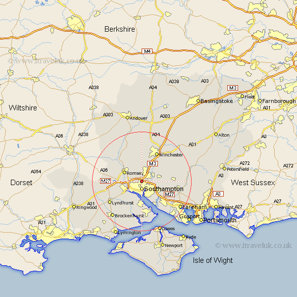
This Bassett map below is supplied by Google. Use the tools in the top left corner to zoom into street level or zoom out for a road map, you may also need to zoom in to see Bassett on the map. Click and drag the map to move around. If the map fails to load try and refresh your browser or zoom in or out (+ or -).
Update - it seems Google no longer allow people to use their maps for free! This Bassett map sometimes loads and sometimes gives a error. I am working on a solution.
Closest 30 Towns or Cities to Bassett (Population over 500)
Chilworth 1.17km Southampton 3.34km Eastleigh 3.96km Bishopstoke 5.03km Itchen 5.68km West End 5.96km Otterbourne 6.57km Totton 6.91km Hursley 7.42km Marchwood 7.77km Romsey 7.92km Eling 8.06km Compton 8.76km Hythe 9.26km Twyford 9.44km Dibden 9.55km Botley 10.05km Ashurst 10.19km Netley Marsh 10.38km Netley 10.38km Durley 10.51km Owslebury 10.87km Curbridge 11.15km Curdridge 11.15km Michelmersh 11.61km Michlemersh 11.61km Bursledon 11.62km Upham 11.82km Locks Heath 12.08km Hample 12.56km