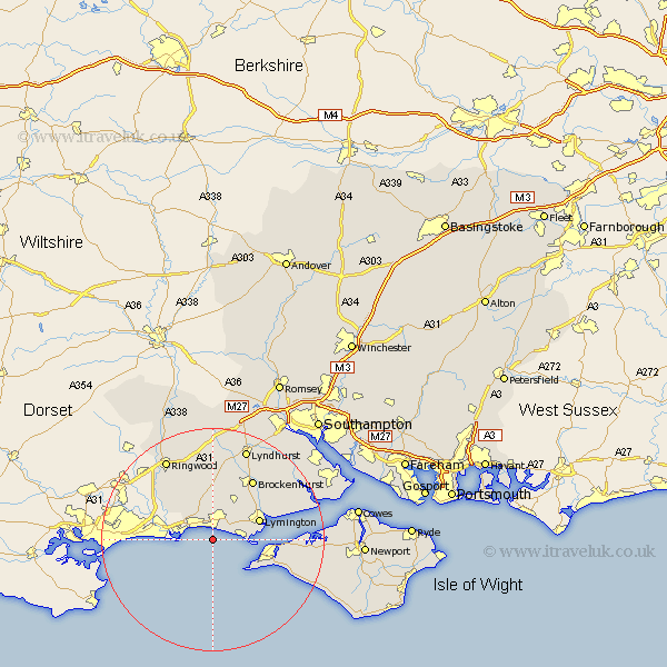
Hampshire Map Showing Location of Barton On Sea
Population: 24020
Area Size (ha): 877
District: New Forest
Easting: 423529 Northing: 90902
Latitude: 50.72 Longitude: -1.67
 = Barton On Sea
Area Size (ha): 877
District: New Forest
Easting: 423529 Northing: 90902
Latitude: 50.72 Longitude: -1.67
= Barton On Sea
This Barton On Sea map below is supplied by Google. Use the tools in the top left corner to zoom into street level or zoom out for a road map, you may also need to zoom in to see Barton On Sea on the map. Click and drag the map to move around. If the map fails to load try and refresh your browser or zoom in or out (+ or -).
Update - it seems Google no longer allow people to use their maps for free! This Barton On Sea map sometimes loads and sometimes gives a error. I am working on a solution.
Closest 30 Towns or Cities to Barton On Sea (Population over 500)
New Milton 2.19km Milton 2.19km Milford-on-Sea 5.28km Milford 5.28km Milford on Sea 5.28km Hordle 5.98km Bransgore 8.77km Sway 8.77km Lymington 9.01km Sopley 9.91km Boldre 10.91km Totland 10.91km Burley 11.36km Yarmouth 11.88km Freshwater 11.94km Brockenhurst 13.16km Ringwood 16.94km Lyndhurst 17.68km Bewley 18.86km Beaulieu 18.86km Shalfleet 18.87km Minstead 19.11km Calbourne 19.59km Ibsley 20.26km Sandleheath 21.31km Brightstone 22.01km Brighstone 22.01km Cadnam 23km Dibden 23.39km Eling 24.11km