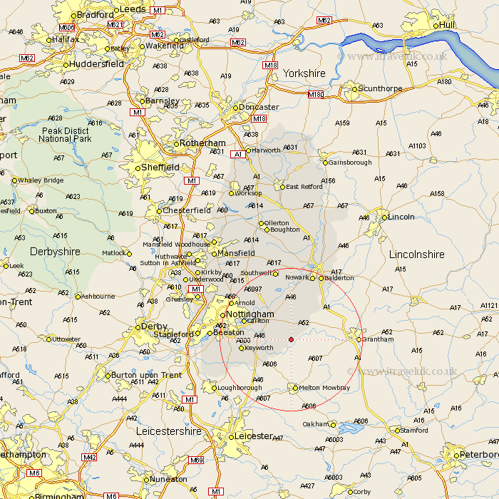
Nottinghamshire Map Showing Location of Barnstone
Population: 898
District: Rushcliffe
Easting: 473983 Northing: 334219
Latitude: 52.9 Longitude: -0.9
 = Barnstone
District: Rushcliffe
Easting: 473983 Northing: 334219
Latitude: 52.9 Longitude: -0.9
= Barnstone
This Barnstone map below is supplied by Google. Use the tools in the top left corner to zoom into street level or zoom out for a road map, you may also need to zoom in to see Barnstone on the map. Click and drag the map to move around. If the map fails to load try and refresh your browser or zoom in or out (+ or -).
Update - it seems Google no longer allow people to use their maps for free! This Barnstone map sometimes loads and sometimes gives a error. I am working on a solution.
Closest 30 Towns or Cities to Barnstone (Population over 500)
Aslockton 3.87km Aslocton 3.87km Bingham 5km Cropwell Bishop 5.59km Cropwell Butler 5.89km Cropwell 5.89km Kinoulton 7.89km East Bridgford 8.14km Cotgrave 8.94km Flintham 9.26km Radcliffe-on-Trent 9.68km Radcliffe 9.68km Radcliffe on Trent 9.68km Shelford 10.78km Tollerton 12.43km Burton Joyce 12.87km Elston 13.17km Carlton 13.49km Colwick 13.49km Lambley 14.51km West Bridgeford 14.65km West Bridgford 14.65km Bleasby 14.99km Bunny 16.62km Fiskerton Ferry 16.68km Fiskerton 16.68km Ruddington 16.87km Farndon 17.01km Woodborough 17.12km Costock 18.2km