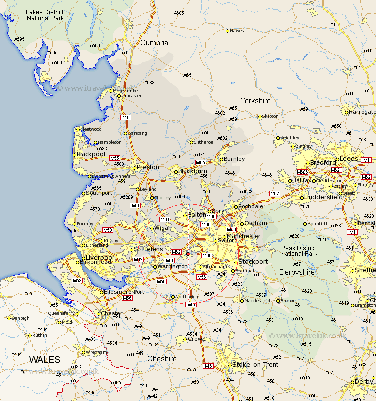
Lancashire Map Showing Location of Irlam
Population: 18096
Area Size (ha): 484
District: Salford
Easting: 372320 Northing: 393055
Latitude: 53.43 Longitude: -2.42
 = Irlam
Area Size (ha): 484
District: Salford
Easting: 372320 Northing: 393055
Latitude: 53.43 Longitude: -2.42
= Irlam
This Irlam map below is supplied by Google. Use the tools in the top left corner to zoom into street level or zoom out for a road map, you may also need to zoom in to see Irlam on the map. Click and drag the map to move around. If the map fails to load try and refresh your browser or zoom in or out (+ or -).
Update - it seems Google no longer allow people to use their maps for free! This Irlam map sometimes loads and sometimes gives a error. I am working on a solution.
Closest 30 Towns or Cities to Irlam (Population over 500)
Urmston 4.79km Stretford 6.88km Eccles 7.83km Swinton 8.63km Leigh 8.65km Walkden 9.34km Tyldesley 9.85km Atherton 10.79km Pendlebury 10.79km Kearsley 11.34km Salford 11.38km Golborne 12.7km Farnworth 13.02km Little Lever 13.39km Radcliffe 14.1km Prestwich 14.2km Abram 14.41km Westhoughton 14.57km Whitefield 15.1km Manchester 15.18km Hindley 15.66km Ashton 16.42km Ashton in Makerfield 16.42km Bolton 16.72km Haydock 16.97km Wigan 17.29km Ince 17.29km Ince-in-Makerfield 17.29km Droylsden 18.51km Droylesden 18.51km