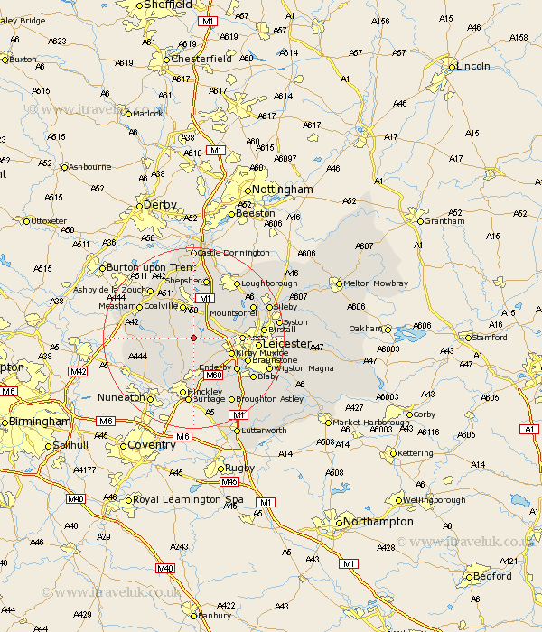
Leicestershire Map Showing Location of Bagworth
Population: 1836
District: Hinckley and Bosworth
Easting: 445096 Northing: 306054
Latitude: 52.65 Longitude: -1.33
 = Bagworth
District: Hinckley and Bosworth
Easting: 445096 Northing: 306054
Latitude: 52.65 Longitude: -1.33
= Bagworth
This Bagworth map below is supplied by Google. Use the tools in the top left corner to zoom into street level or zoom out for a road map, you may also need to zoom in to see Bagworth on the map. Click and drag the map to move around. If the map fails to load try and refresh your browser or zoom in or out (+ or -).
Update - it seems Google no longer allow people to use their maps for free! This Bagworth map sometimes loads and sometimes gives a error. I am working on a solution.
Closest 30 Towns or Cities to Bagworth (Population over 500)
Barlestone 2.92km Newbold Verdon 3.7km Markfield 3.85km Ibstock 4.86km Desford 5.01km Market Bosworth 5.83km Heather 6.73km Shackerstone 6.75km Ravenstone 7.15km Ravenstone with Snibston 7.15km Coalville 7.75km Kirby Muxloe 8.7km Swannington 9.33km Anstey 10.12km Ansty 10.12km Stoke Golding 10.3km Elmsthorpe 11.35km Elmesthorpe 11.35km Twycross 11.4km Packington 11.65km Woodhouse 11.65km Enderby 11.66km Coleorton 11.99km Appleby Magna 12.5km Braunstone 12.55km Narborough 12.92km Belton 12.98km Higham-on-the-Hill 13.01km Higham on the Hill 13.01km Croft 13.01km