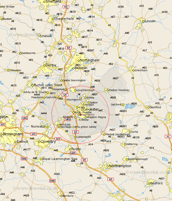
Leicestershire Map Showing Location of Aylestone
Easting: 457563 Northing: 300624
Latitude: 52.6 Longitude: -1.15
 = Aylestone
Latitude: 52.6 Longitude: -1.15
= Aylestone
This Aylestone map below is supplied by Google. Use the tools in the top left corner to zoom into street level or zoom out for a road map, you may also need to zoom in to see Aylestone on the map. Click and drag the map to move around. If the map fails to load try and refresh your browser or zoom in or out (+ or -).
Update - it seems Google no longer allow people to use their maps for free! This Aylestone map sometimes loads and sometimes gives a error. I am working on a solution.
Closest 30 Towns or Cities to Aylestone (Population over 500)
Braunstone 1.13km Blaby 3.7km Enderby 3.85km Wigston Magna 3.85km Wigston 3.85km Leiscester 3.87km Leicester 3.87km Whetstone 4.33km Glen Parva 4.33km Glen Parka 4.33km Kirby Muxloe 4.87km Oadby 4.87km Narborough 5.01km Countesthorpe 5.67km Anstey 6km Ansty 6km Cosby 6km Birstall 7.75km Croft 7.91km Great Glen 8.71km Desford 9.19km Broughton Astley 10.3km Stoney Stanton 10.83km Syston 10.83km Rothley 11.18km Houghton 11.41km Houghton-on-the-Hill 11.41km Houghton on the Hill 11.41km Elmsthorpe 11.56km Elmesthorpe 11.56km