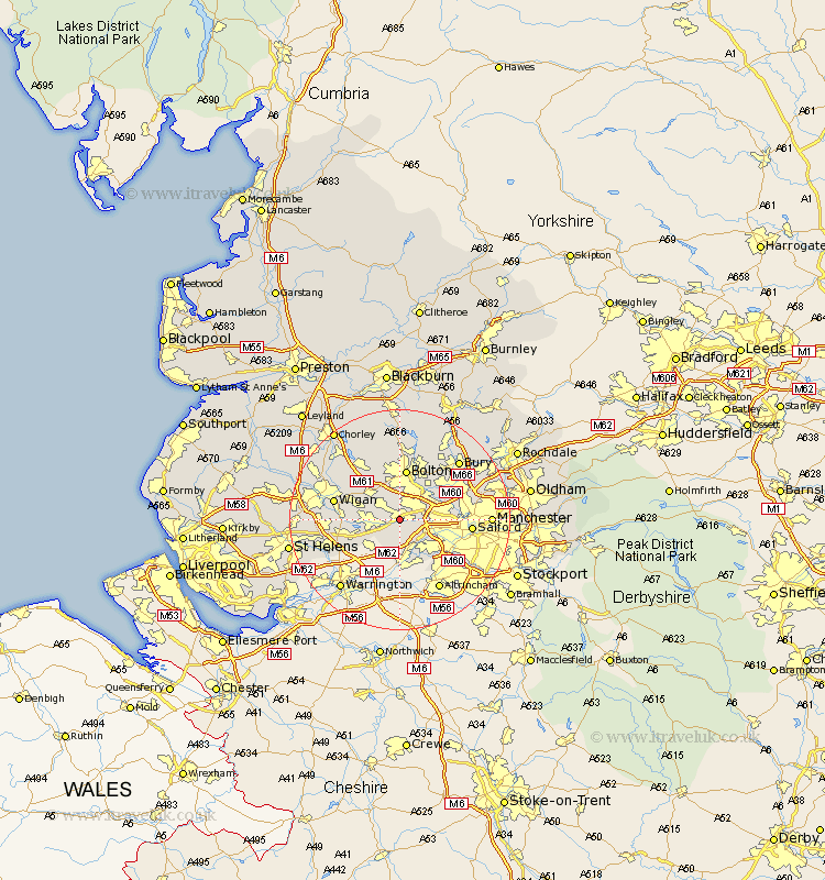
Lancashire Map Showing Location of Astley
District: Wigan
Easting: 370153 Northing: 400488
Latitude: 53.5 Longitude: -2.45
 = Astley
Easting: 370153 Northing: 400488
Latitude: 53.5 Longitude: -2.45
= Astley
This Astley map below is supplied by Google. Use the tools in the top left corner to zoom into street level or zoom out for a road map, you may also need to zoom in to see Astley on the map. Click and drag the map to move around. If the map fails to load try and refresh your browser or zoom in or out (+ or -).
Update - it seems Google no longer allow people to use their maps for free! This Astley map sometimes loads and sometimes gives a error. I am working on a solution.
Closest 30 Towns or Cities to Astley (Population over 500)
Tyldesley 2.16km Atherton 3.79km Walkden 3.79km Leigh 4.78km Kearsley 5.76km Farnworth 6.47km Swinton 6.61km Westhoughton 7.09km Irlam 7.74km Little Lever 7.83km Pendlebury 7.94km Eccles 7.94km Urmston 8.64km Abram 9.01km Bolton 9.33km Radcliffe 9.51km Hindley 9.56km Stretford 10.43km Golborne 10.59km Whitefield 11.37km Bromley Cross 11.6km Bradshaw 11.6km Prestwich 11.62km Ince-in-Makerfield 11.63km Ince 11.63km Wigan 11.63km Salford 12.27km Blackrod 12.78km Horwich 12.93km Ashton 13.36km