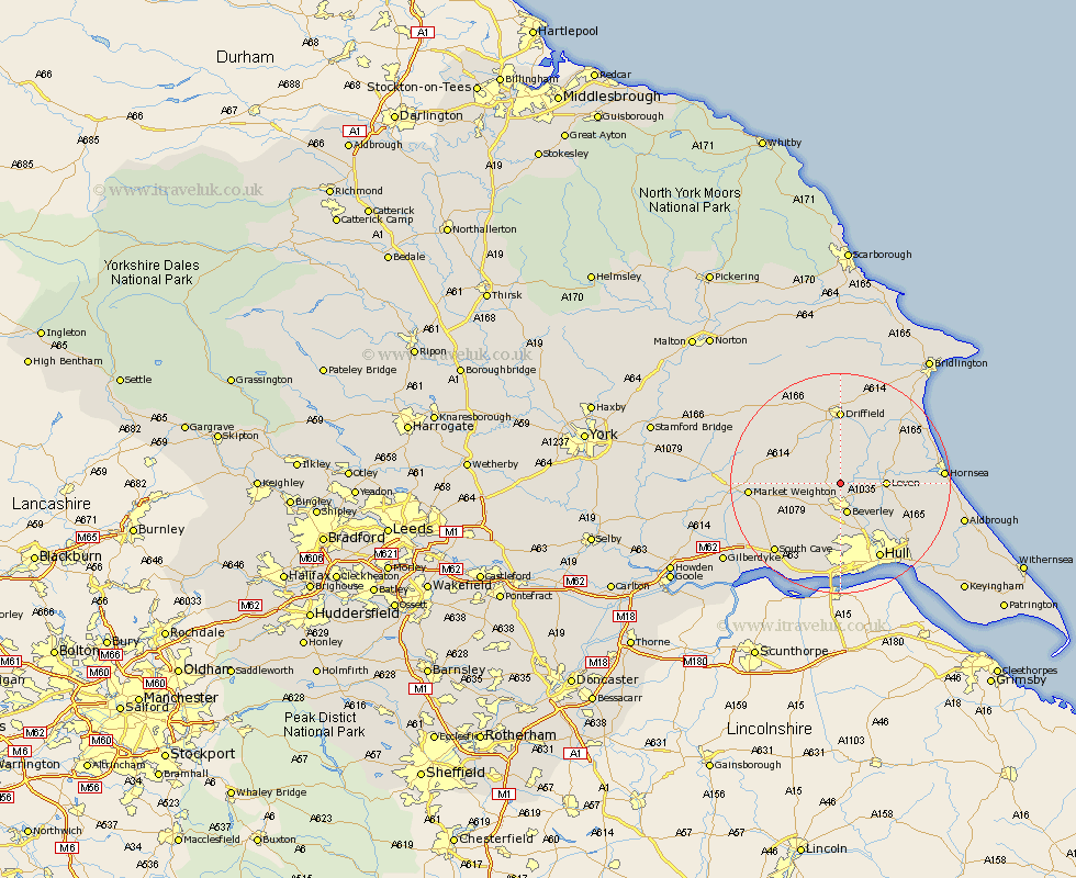
Yorkshire Map Showing Location of Arram
Easting: 502967 Northing: 444172
Latitude: 53.88 Longitude: -0.43
 = Arram
Latitude: 53.88 Longitude: -0.43
= Arram
This Arram map below is supplied by Google. Use the tools in the top left corner to zoom into street level or zoom out for a road map, you may also need to zoom in to see Arram on the map. Click and drag the map to move around. If the map fails to load try and refresh your browser or zoom in or out (+ or -).
Update - it seems Google no longer allow people to use their maps for free! This Arram map sometimes loads and sometimes gives a error. I am working on a solution.
Closest 30 Towns or Cities to Arram (Population over 500)
Leconfield 2.15km Leckonfield 2.15km Tickton 3.76km Lockington 3.77km Cherry Burton 4.74km Beverley 5.67km Bishop Burton 7.07km Cranswick 7.42km Leven 7.65km Woodmansey 8.1km Brandsburton 9.49km Brandesburton 9.49km North Frodingham 9.83km Wawne 10.76km Skidby 11.33km Cottingham 11.59km Willerby 13.01km Sutton-on-Hull 13.5km Sutton on Hull 13.5km Sutton 13.5km Driffield 13.72km Dunnington 14.11km Skirlaugh Station 14.12km Beeford 14.32km Kirk Ella 14.86km Nafferton 15.19km Market Weighton 15.41km Hull 15.53km Wetwang 15.64km Anlaby 16.68km