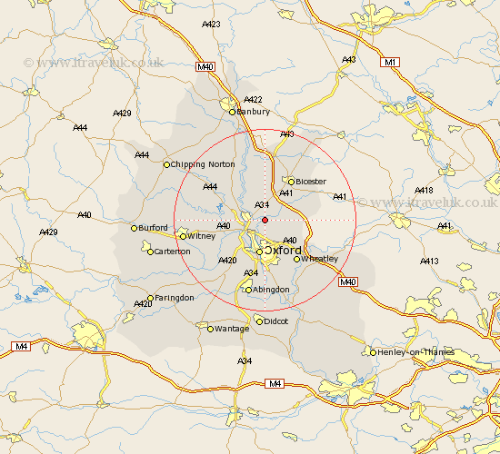
Oxfordshire Map Showing Location of Islip
Population: 617
District: Cherwell
Easting: 452841 Northing: 213446
Latitude: 51.82 Longitude: -1.23
 = Islip
District: Cherwell
Easting: 452841 Northing: 213446
Latitude: 51.82 Longitude: -1.23
= Islip
This Islip map below is supplied by Google. Use the tools in the top left corner to zoom into street level or zoom out for a road map, you may also need to zoom in to see Islip on the map. Click and drag the map to move around. If the map fails to load try and refresh your browser or zoom in or out (+ or -).
Update - it seems Google no longer allow people to use their maps for free! This Islip map sometimes loads and sometimes gives a error. I am working on a solution.
Closest 30 Towns or Cities to Islip (Population over 500)
Islip 0km Kidlington 3.44km Bletchingdon 4.35km Yarnton 4.95km Beckley 5.06km Kirtlington 6.01km Woodstock 6.82km Oxford 7.5km Tackley 7.98km Bladon 8.02km Chesterton 8.16km Ambrosden 8.83km Cassington 8.84km North Hinksey 9.89km Church Handborough 10.48km Hanborough 10.48km Bicester 10.89km Launton 10.91km Littlemore 11.18km Wheatley 11.55km Ensham 11.72km Eynsham 11.72km Steeple Aston 12.03km Ardley 13.02km Cuddesdon 13.08km Cumnor 13.08km Upper Heyford 13.17km Caversfield 13.75km Wootton 13.76km Stonesfield 13.87km