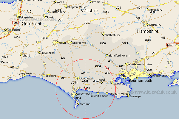
Dorset Map Showing Location of Upton
Population: 7573
District: Purbeck
Easting: 374236 Northing: 83129
Latitude: 50.65 Longitude: -2.36
 = Upton
District: Purbeck
Easting: 374236 Northing: 83129
Latitude: 50.65 Longitude: -2.36
= Upton
This Upton map below is supplied by Google. Use the tools in the top left corner to zoom into street level or zoom out for a road map, you may also need to zoom in to see Upton on the map. Click and drag the map to move around. If the map fails to load try and refresh your browser or zoom in or out (+ or -).
Update - it seems Google no longer allow people to use their maps for free! This Upton map sometimes loads and sometimes gives a error. I am working on a solution.
Closest 30 Towns or Cities to Upton (Population over 500)
Osmington 1.5km Preston 3.7km Broadmayne 4.28km Overcombe 4.9km Bincombe 6.04km Winfrith Newburgh 6.9km Winfrith 6.9km Weymouth 7.28km Lulworth Cove 8.73km West Lulworth 8.73km Dorchester 9.17km Bovington Camp 10.01km West Chickerel 10.13km Chickerell 10.13km Wool 11.32km Charminster 11.36km Puddletown 11.53km Piddletown 11.53km Island of Portland 11.8km Isle of Portland 11.8km Portland 11.8km Fortuneswell 12.33km Weston 13.24km Easton 13.98km Portesham 14.43km Portisham 14.43km Milborne St Andrew 14.51km Milborne Saint Andrew 14.51km Milborne 14.51km Milborne St. Andrew 14.51km