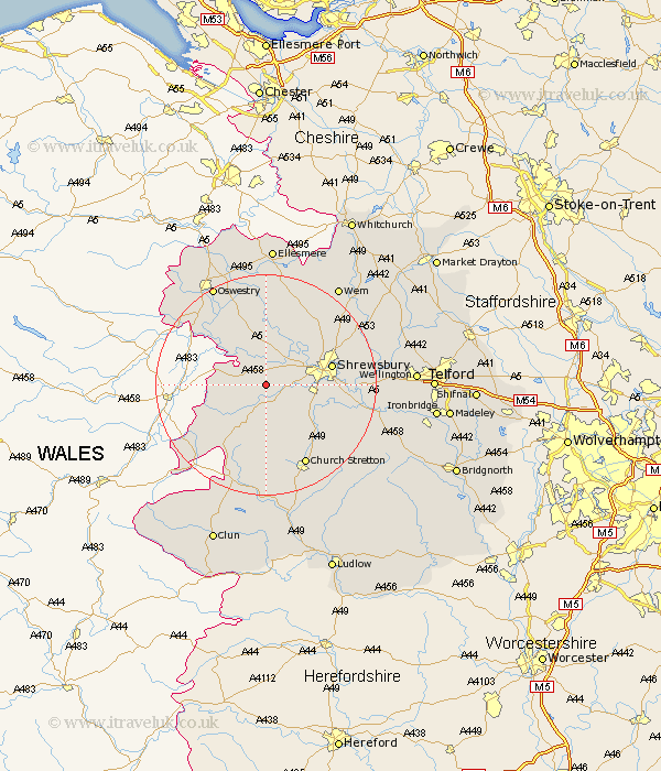
Shropshire Map Showing Location of Yockleton
District: Shrewsbury and Atcham
Easting: 339166 Northing: 309930
Latitude: 52.68 Longitude: -2.9
 = Yockleton
Easting: 339166 Northing: 309930
Latitude: 52.68 Longitude: -2.9
= Yockleton
This Yockleton map below is supplied by Google. Use the tools in the top left corner to zoom into street level or zoom out for a road map, you may also need to zoom in to see Yockleton on the map. Click and drag the map to move around. If the map fails to load try and refresh your browser or zoom in or out (+ or -).
Update - it seems Google no longer allow people to use their maps for free! This Yockleton map sometimes loads and sometimes gives a error. I am working on a solution.
Closest 30 Towns or Cities to Yockleton (Population over 500)
Westbury 3.37km Pontesbury 3.87km Ford 5.01km Alberbury 5.01km Great Hanwood 5.62km Hanwood 5.62km Minsterley 6km Bicton 7.9km Great Ness 9.27km Baystonhill 10.28km Condover 10.77km Baschurch 11.34km Shrewsbury 11.83km Kinnerley 12.45km Shelve 12.46km Berrington 13.99km Hadnall 15.44km Pant 15.8km West Felton 15.86km Church Stretton 16.29km Chirburg 16.64km Chirbury 16.64km Cockshutt 18.84km Cockshut 18.84km Llanyblodwel 19.25km Rodington 19.88km Cressage 19.9km Shawbury 20.17km Oswestry 20.59km Whittington 21.47km