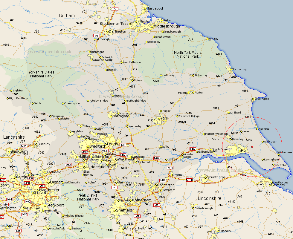
Yorkshire Map Showing Location of Wyton
Easting: 517485 Northing: 433385
Latitude: 53.78 Longitude: -0.22
 = Wyton
Latitude: 53.78 Longitude: -0.22
= Wyton
This Wyton map below is supplied by Google. Use the tools in the top left corner to zoom into street level or zoom out for a road map, you may also need to zoom in to see Wyton on the map. Click and drag the map to move around. If the map fails to load try and refresh your browser or zoom in or out (+ or -).
Update - it seems Google no longer allow people to use their maps for free! This Wyton map sometimes loads and sometimes gives a error. I am working on a solution.
Closest 30 Towns or Cities to Wyton (Population over 500)
Preston 2.15km Sproatley 2.19km Skirlaugh Station 4.31km Hedon 5.98km Sutton 6.57km Sutton on Hull 6.57km Sutton-on-Hull 6.57km Paull 7.49km Aldbrough 7.54km Burstwick 7.81km Burton Pidsea 7.89km Thorngumbold 8.1km Thorngumbald 8.1km Hull 8.22km Wawne 8.95km Kingston upon Hull 10.66km Cottingham 10.95km Keyingham 11.36km Woodmansey 11.56km Walkington 11.56km Roos 11.56km Ottringham 12.75km Leven 12.91km Hornsea 13.38km Beverley 14.26km Tickton 14.34km Anlaby 15.29km Willerby 15.44km Kirk Ella 15.78km Brandesburton 15.81km