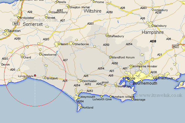
Dorset Map Showing Location of Whitchurch Canonicorum
District: West Dorset
Easting: 340042 Northing: 94896
Latitude: 50.75 Longitude: -2.85
 = Whitchurch Canonicorum
Easting: 340042 Northing: 94896
Latitude: 50.75 Longitude: -2.85
= Whitchurch Canonicorum
This Whitchurch Canonicorum map below is supplied by Google. Use the tools in the top left corner to zoom into street level or zoom out for a road map, you may also need to zoom in to see Whitchurch Canonicorum on the map. Click and drag the map to move around. If the map fails to load try and refresh your browser or zoom in or out (+ or -).
Update - it seems Google no longer allow people to use their maps for free! This Whitchurch Canonicorum map sometimes loads and sometimes gives a error. I am working on a solution.
Closest 30 Towns or Cities to Whitchurch Canonicorum (Population over 500)
Charmouth 3.98km Chideock 4.38km Lyme Regis 6.15km Bridport 6.82km Thorncombe 7.78km Netherbury 7.95km Broadwinsor 8.21km Broadwindsor 8.21km Bradpole 8.42km Beaminster 8.96km Loders 9.56km Burton Bradstock 10.91km Mosterton 12.57km Abbotsbury 19.89km Maiden Newton 20.02km Portisham 22km Portesham 22km Leigh 24.75km Yetminster 25.97km Bradford Abbas 26.35km Cerne Abbas 27.52km Charminster 28.21km Chickerell 28.77km West Chickerel 28.77km Dorchester 29.56km Buckland Newton 29.6km Bincombe 30.29km Puddletrenthide 30.7km Piddletrenthide 30.7km Overcombe 32.06km