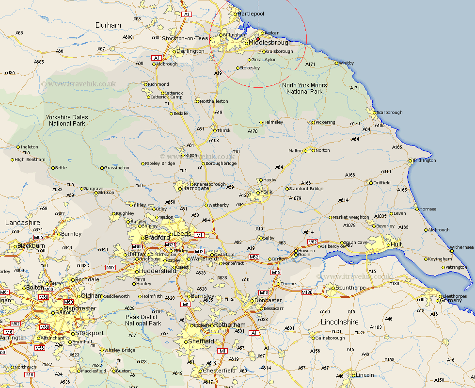
Yorkshire Map Showing Location of Yearby
Easting: 459237 Northing: 521299
Latitude: 54.58 Longitude: -1.08
 = Yearby
Latitude: 54.58 Longitude: -1.08
= Yearby
This Yearby map below is supplied by Google. Use the tools in the top left corner to zoom into street level or zoom out for a road map, you may also need to zoom in to see Yearby on the map. Click and drag the map to move around. If the map fails to load try and refresh your browser or zoom in or out (+ or -).
Update - it seems Google no longer allow people to use their maps for free! This Yearby map sometimes loads and sometimes gives a error. I am working on a solution.
Closest 30 Towns or Cities to Yearby (Population over 500)
Redcar 3.1km Eston 3.86km Grangetown 4.3km Marske 4.37km Marske-by-the-Sea 4.37km Marske by the Sea 4.37km South Bank on Tees 4.68km South Bank in Normanby 4.68km South Bank-on-Tees 4.68km South Bank 4.68km Middlesbrough 4.68km Middlesborough 4.68km Middlebrough 4.68km Guisborough 5.96km Saltburn 6.44km Saltburn by the Sea 6.44km Saltburn-by-the-Sea 6.44km Skelton-in-Cleveland 7.43km Skelton 7.43km Great Ayton 9.81km Brotton 9.84km Loftus 13.41km Stokesley 14.99km Seamer 15.56km Great Broughton 15.77km Ingleby 16.71km Middleton 17.55km Middleton upon Leven 17.55km Hinderwell 21.16km Whorlton 21.42km