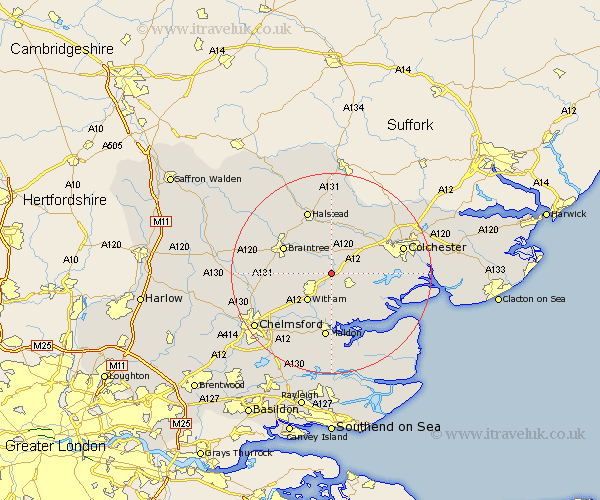
Essex Map Showing Location of Kelvedon
Population: 4331
Area Size (ha): 126
District: Braintree
Easting: 586009 Northing: 218465
Latitude: 51.83 Longitude: 0.7
 = Kelvedon
Area Size (ha): 126
District: Braintree
Easting: 586009 Northing: 218465
Latitude: 51.83 Longitude: 0.7
= Kelvedon
This Kelvedon map below is supplied by Google. Use the tools in the top left corner to zoom into street level or zoom out for a road map, you may also need to zoom in to see Kelvedon on the map. Click and drag the map to move around. If the map fails to load try and refresh your browser or zoom in or out (+ or -).
Update - it seems Google no longer allow people to use their maps for free! This Kelvedon map sometimes loads and sometimes gives a error. I am working on a solution.
Closest 30 Towns or Cities to Kelvedon (Population over 500)
Kelvedon 0km Feering 2.18km Rivenhall 2.29km Totham 3.71km Great Totham 3.71km Coggeshall 3.88km Tiptree 4.36km Wickham Bishops 6.02km Bradwell 6.82km Marks Tey 6.82km Cressing 7.12km Copford 7.12km Witham 7.21km Stisted 7.98km Tolleshunt Knights 7.99km Birch 8.02km Great Tey 8.17km Rayne 8.83km Hatfield Peverel 8.84km Wakes Colne 9.88km Tolleshunt D'Arcy 10.11km Layer de la Haye 10.31km Chapel 10.34km Chappel 10.34km Tolleshunt Major 10.34km Black Notley 10.47km Braintree 10.71km Terling 10.96km Earls Colne 11.12km Heybridge 11.18km