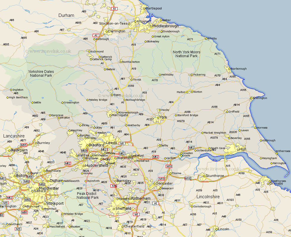
Yorkshire Map Showing Location of Worsbrough
Population: 10052
Area Size (ha): 225
District: Barnsley
Easting: 434255 Northing: 402376
Latitude: 53.52 Longitude: -1.48
 = Worsbrough
Area Size (ha): 225
District: Barnsley
Easting: 434255 Northing: 402376
Latitude: 53.52 Longitude: -1.48
= Worsbrough
This Worsbrough map below is supplied by Google. Use the tools in the top left corner to zoom into street level or zoom out for a road map, you may also need to zoom in to see Worsbrough on the map. Click and drag the map to move around. If the map fails to load try and refresh your browser or zoom in or out (+ or -).
Update - it seems Google no longer allow people to use their maps for free! This Worsbrough map sometimes loads and sometimes gives a error. I am working on a solution.
Closest 30 Towns or Cities to Worsbrough (Population over 500)
Birdwell 1.86km Hoyland Nether 2.88km Hoyland 2.88km Barnsley 3.7km Dodworth 3.79km Tankersley 3.87km Wortley 4.97km Wombwell 5.51km Silkstone 5.81km Darfield 6.86km Darsfield 6.86km Cudworth 7.09km Wentworth 7.1km Darton 8.11km Little Houghton 8.55km Stocksbridge 8.56km Shafton 8.62km Cawthorne 8.64km Penistone 8.82km Wath-on-Dearne 9.01km Wath on Dearne 9.01km Wath 9.01km Wath upon Dearne 9.01km Notton 9.26km Ecclesfield 9.34km Royston 9.52km Woolley 9.52km Houghton 9.56km Great Houghton 9.56km Wharncliffe Side 10.27km