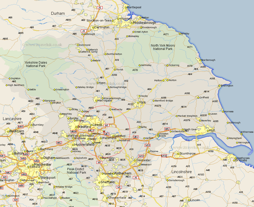
Yorkshire Map Showing Location of Woodlesford
District: Leeds
Easting: 436264 Northing: 428345
Latitude: 53.75 Longitude: -1.45
 = Woodlesford
Easting: 436264 Northing: 428345
Latitude: 53.75 Longitude: -1.45
= Woodlesford
This Woodlesford map below is supplied by Google. Use the tools in the top left corner to zoom into street level or zoom out for a road map, you may also need to zoom in to see Woodlesford on the map. Click and drag the map to move around. If the map fails to load try and refresh your browser or zoom in or out (+ or -).
Update - it seems Google no longer allow people to use their maps for free! This Woodlesford map sometimes loads and sometimes gives a error. I am working on a solution.
Closest 30 Towns or Cities to Woodlesford (Population over 500)
Rothwell 2.19km Swillington 2.87km Lofthouse 3.78km Garforth 5.74km Kippax 5.78km Normanton 5.98km Wakefield 5.98km Stanley 5.98km Castleford 7.55km Scholes 7.73km Featherstone 7.81km Morley 8.96km Micklefield 9.47km Leeds 10.38km Aberford 10.67km Crofton 11.33km Thorner 11.33km Horbury 11.36km Ossett 12.03km Drewsbury 12.29km Dewsbury 12.29km Pontefract 12.35km Brotherton 12.61km Batley 12.9km Scarcroft 12.98km South Milford 13.28km Ackworth 13.51km High Ackworth 13.51km Ackworth Moor Top 13.51km Fitzwilliam 13.7km