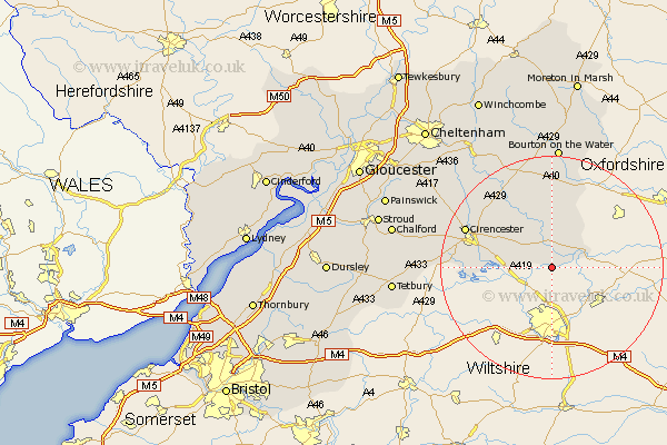
Gloucestershire Map Showing Location of Kempsford
Population: 1452
Area Size (ha): 503
District: Cotswold
Easting: 416135 Northing: 196513
Latitude: 51.67 Longitude: -1.77
 = Kempsford
Area Size (ha): 503
District: Cotswold
Easting: 416135 Northing: 196513
Latitude: 51.67 Longitude: -1.77
= Kempsford
This Kempsford map below is supplied by Google. Use the tools in the top left corner to zoom into street level or zoom out for a road map, you may also need to zoom in to see Kempsford on the map. Click and drag the map to move around. If the map fails to load try and refresh your browser or zoom in or out (+ or -).
Update - it seems Google no longer allow people to use their maps for free! This Kempsford map sometimes loads and sometimes gives a error. I am working on a solution.
Closest 30 Towns or Cities to Kempsford (Population over 500)
Fairford 3.88km Quenington 5.68km Lechlade 5.9km Ampney St. Peter 8.85km Ampney Saint Peter 8.85km Ampney 8.85km Ampney St Peter 8.85km Bibury 9.88km South Cerney 10.35km Cerney 10.35km Siddington 12.78km Cirencester 16.67km Cicester 16.67km North Cerney 17.71km Chedworth 18.07km Northleach 18.84km Bourton on the Water 22.26km Bourton-on-the-Water 22.26km Withington 22.41km Andoversford 25.57km Bledington 25.77km Avening 27.64km Minchinhampton 27.82km Tetbury 27.85km Chalford 28.54km Stow on the Wold 29.73km Stow-on-the-Wold 29.73km Nailsworth 29.94km Charlton Kings 30.34km Leckhampton 31.14km