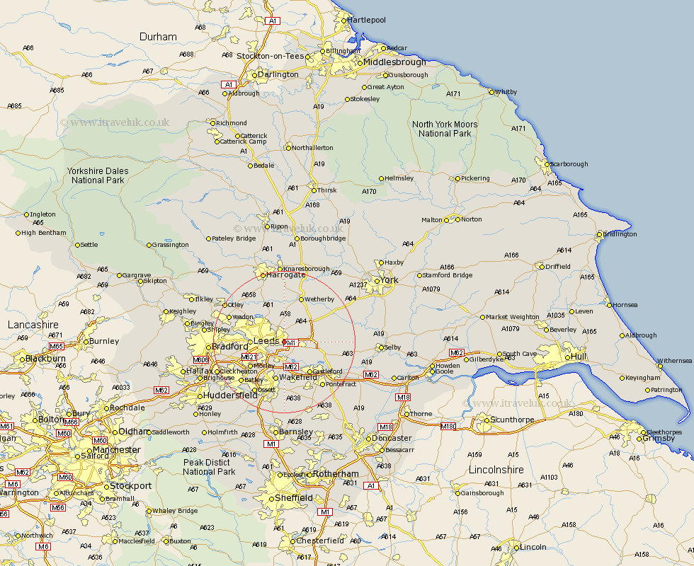
Yorkshire Map Showing Location of Whitkirk
District: Leeds
Easting: 436221 Northing: 433908
Latitude: 53.8 Longitude: -1.45
 = Whitkirk
Easting: 436221 Northing: 433908
Latitude: 53.8 Longitude: -1.45
= Whitkirk
This Whitkirk map below is supplied by Google. Use the tools in the top left corner to zoom into street level or zoom out for a road map, you may also need to zoom in to see Whitkirk on the map. Click and drag the map to move around. If the map fails to load try and refresh your browser or zoom in or out (+ or -).
Update - it seems Google no longer allow people to use their maps for free! This Whitkirk map sometimes loads and sometimes gives a error. I am working on a solution.
Closest 30 Towns or Cities to Whitkirk (Population over 500)
Scholes 2.87km Swillington 4.3km Garforth 4.76km Thorner 5.97km Rothwell 5.98km Kippax 6.61km Scarcroft 7.42km Micklefield 7.66km Aberford 7.88km Lofthouse 8.11km Leeds 8.76km East Keswick 9.12km Bardsey 9.33km Normanton 11.33km Stanley 11.33km Wakefield 11.33km Bramham 11.35km Castleford 11.36km Morley 11.48km Collingham 11.59km Harewood 11.59km Featherstone 12.4km Horsforth 12.59km Boston Spa 12.91km Sherburn 13.13km Sherburn in Elmet 13.13km South Milford 13.65km Wetherby 13.69km Bramhope 14.33km Pudsey 14.35km