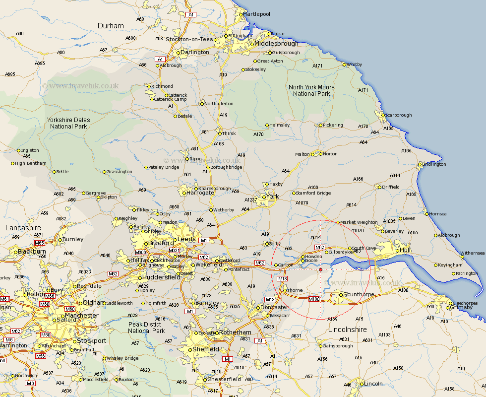
Yorkshire Map Showing Location of Whitgift
Easting: 481447 Northing: 421491
Latitude: 53.68 Longitude: -0.77
 = Whitgift
Latitude: 53.68 Longitude: -0.77
= Whitgift
This Whitgift map below is supplied by Google. Use the tools in the top left corner to zoom into street level or zoom out for a road map, you may also need to zoom in to see Whitgift on the map. Click and drag the map to move around. If the map fails to load try and refresh your browser or zoom in or out (+ or -).
Update - it seems Google no longer allow people to use their maps for free! This Whitgift map sometimes loads and sometimes gives a error. I am working on a solution.
Closest 30 Towns or Cities to Whitgift (Population over 500)
Swinefleet 4.39km Hook 6.62km Eastrington 7.5km Goole 7.56km Howden 8.62km Airmyn 9.53km Newport 11.49km North Cave 12.04km Rawcliffe 12.07km Brough 12.21km Welton 14.29km South Cave 14.36km Thorne 16.11km Moorends 16.42km Carlton 16.57km Holme 16.68km Holme upon Spalding Moor 16.68km Hemingbrough 17.01km Cliff Common Station 17.01km Cliffe Common 17.01km Snaith 17.56km Bubwith 17.81km Ferriby 17.94km North Ferriby 17.94km Barlow 18.05km Seaton Ross 18.83km Fishlake 18.91km Hatfield 19.29km Swanland 19.46km Pollington 19.85km