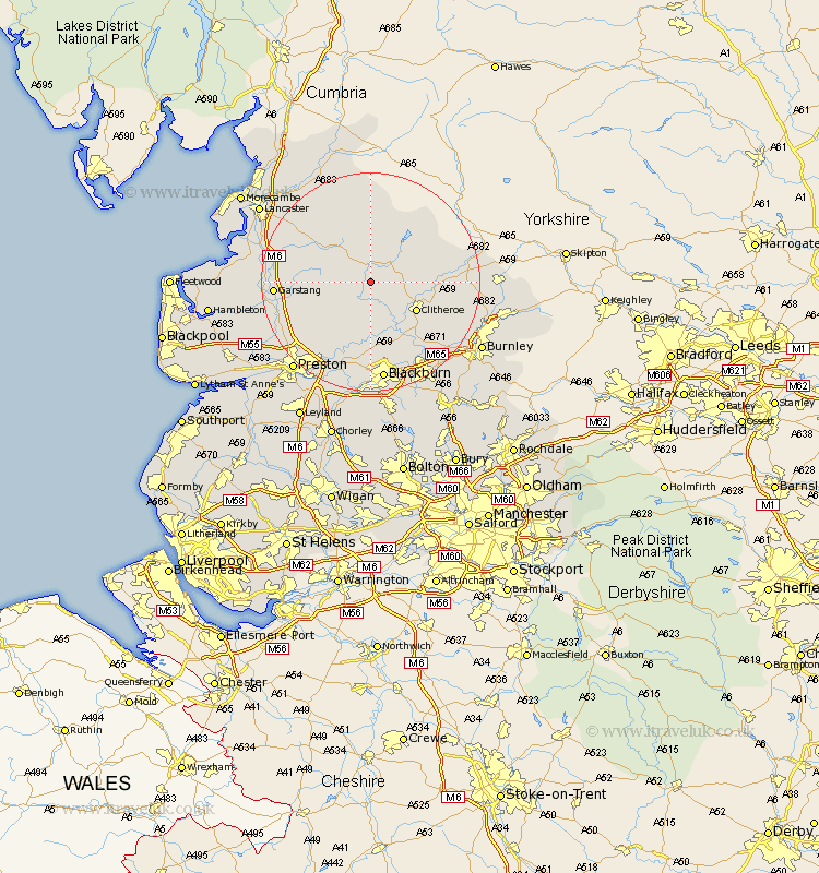
Lancashire Map Showing Location of Whitewell
District: Ribble Valley
Easting: 366068 Northing: 446874
Latitude: 53.92 Longitude: -2.52
 = Whitewell
Easting: 366068 Northing: 446874
Latitude: 53.92 Longitude: -2.52
= Whitewell
This Whitewell map below is supplied by Google. Use the tools in the top left corner to zoom into street level or zoom out for a road map, you may also need to zoom in to see Whitewell on the map. Click and drag the map to move around. If the map fails to load try and refresh your browser or zoom in or out (+ or -).
Update - it seems Google no longer allow people to use their maps for free! This Whitewell map sometimes loads and sometimes gives a error. I am working on a solution.
Closest 30 Towns or Cities to Whitewell (Population over 500)
Chipping 5.73km Waddington 7.53km Clitheroe 9.45km Grindleton 10km Longridge 10.25km Chatburn 11.53km Whalley 12.91km Ribchester 13.02km Langho 13.69km Claughton 14.24km Claughton on Brock 14.24km Claughton-on-Brock 14.24km Goosnargh 14.85km Wilpshire 14.99km Grimsargh 15.06km Great Harwood 16.22km Sabden 16.38km Gisburn 16.47km Garstang 16.48km Mellor 16.72km Catterall 17.3km Forton 17.84km Samlesbury 17.92km Broughton 18.04km Barton 18.04km Simonstone 18.43km Blackburn 18.66km Clayton-le-Moors 18.83km Clayton le Moor 18.83km Clayton le Moors 18.83km