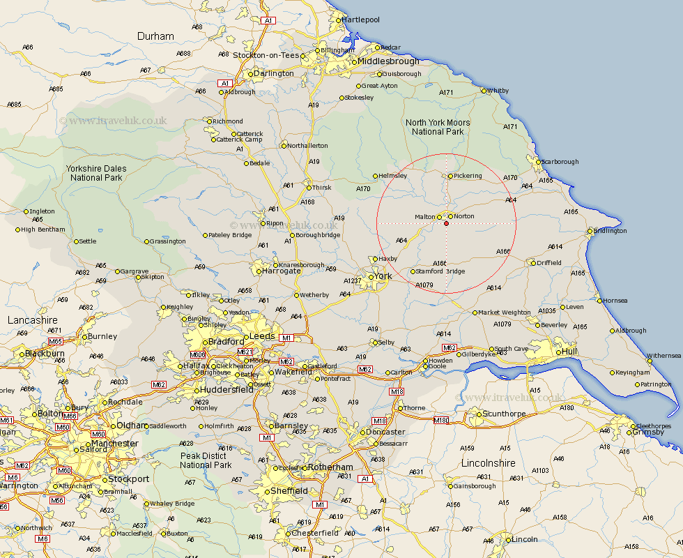
Yorkshire Map Showing Location of Whitewall Corner
District: Ryedale
Easting: 479519 Northing: 469684
Latitude: 54.12 Longitude: -0.78
 = Whitewall Corner
Easting: 479519 Northing: 469684
Latitude: 54.12 Longitude: -0.78
= Whitewall Corner
This Whitewall Corner map below is supplied by Google. Use the tools in the top left corner to zoom into street level or zoom out for a road map, you may also need to zoom in to see Whitewall Corner on the map. Click and drag the map to move around. If the map fails to load try and refresh your browser or zoom in or out (+ or -).
Update - it seems Google no longer allow people to use their maps for free! This Whitewall Corner map sometimes loads and sometimes gives a error. I am working on a solution.
Closest 30 Towns or Cities to Whitewall Corner (Population over 500)
Norton 2.47km Malton 2.54km Rillington 6.57km Slingsby 9.44km Terrington 11.95km Thornton Dale 13.67km Thornton-le-Dale 13.67km Yedingham 14.27km Sheriff Hutton 14.61km Pickering 14.86km Fangfoss 17km Snainton 17.12km Stamford Bridge 17.2km Strensall 17.91km Sherburn 18.24km Nawton 18.37km Brompton 18.82km Wetwang 19.19km Kirkby Moorside 19.32km Kirby Moorside 19.32km Wilberfoss 19.65km Pocklington 20.51km Barmby 20.51km Barmby on the Moor 20.51km Barmby-on-the-Moor 20.51km Wigginton 21.57km Haxby 21.57km Huntington 21.71km Earswick 21.71km Stillington 21.81km