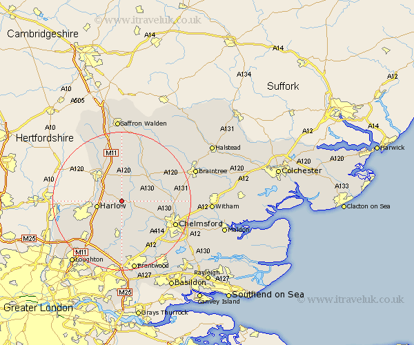
Essex Map Showing Location of White Roding
District: Uttlesford
Easting: 556275 Northing: 213741
Latitude: 51.8 Longitude: 0.27
 = White Roding
Easting: 556275 Northing: 213741
Latitude: 51.8 Longitude: 0.27
= White Roding
This White Roding map below is supplied by Google. Use the tools in the top left corner to zoom into street level or zoom out for a road map, you may also need to zoom in to see White Roding on the map. Click and drag the map to move around. If the map fails to load try and refresh your browser or zoom in or out (+ or -).
Update - it seems Google no longer allow people to use their maps for free! This White Roding map sometimes loads and sometimes gives a error. I am working on a solution.
Closest 30 Towns or Cities to White Roding (Population over 500)
Hatfield Heath 3.44km Hatfield Broad Oak 3.88km Matching 3.91km High Easter 5.73km Great Hallingbury 6.82km Hallingbury 6.82km Sheering 6.88km Harlow 7.12km Takeley 7.41km Fyfield 7.42km Roxwell 9.77km Felsted 10.72km Barnston 10.72km Birchanger 10.89km High Ongar 11.12km Chipping Ongar 11.18km Dunmow 11.53km Great Dunmow 11.53km Stansted Apt 12.02km Stansted Mountfitchet 12.02km Stansted 12.02km Great Easton 12.03km Great Waltham 12.75km North Weald 13.08km Ongar Station 13.08km Elsenham 13.18km Broxted 13.18km North Weald Bassett 13.72km Stebbing 13.86km Broomfield 14.25km