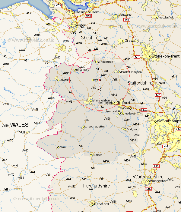
Shropshire Map Showing Location of Weston
District: North Shropshire
Easting: 356231 Northing: 328289
Latitude: 52.85 Longitude: -2.65
 = Weston
Easting: 356231 Northing: 328289
Latitude: 52.85 Longitude: -2.65
= Weston
This Weston map below is supplied by Google. Use the tools in the top left corner to zoom into street level or zoom out for a road map, you may also need to zoom in to see Weston on the map. Click and drag the map to move around. If the map fails to load try and refresh your browser or zoom in or out (+ or -).
Update - it seems Google no longer allow people to use their maps for free! This Weston map sometimes loads and sometimes gives a error. I am working on a solution.
Closest 30 Towns or Cities to Weston (Population over 500)
Stanton 3.7km Stanton upon Hine Heath 3.7km Precs 3.87km Prees 3.87km Hodnet 4.48km Wem 4.48km Whixall 7.14km Shawbury 7.42km Stoke upon Tern 7.83km Stoke 7.83km Loppington 9.14km Hadnall 10.29km Ercall Magna 11.62km High Ercall 11.62km Whitchurch 13.17km Rodington 13.17km Cockshutt 13.43km Cockshut 13.43km Market Drayton 13.5km Hinstock 13.56km Cherrington 13.69km Welshampton 14.53km Cheswardine 15.77km Shrewsbury 15.85km Baschurch 16.34km Bicton 17.15km Ellesmere 17.32km Norton in Hales 17.42km Wrockwardine 17.6km Edgmond 18.21km