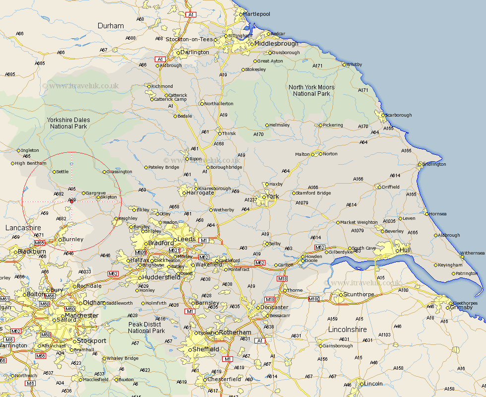
Yorkshire Map Showing Location of West Marton
District: Craven
Easting: 389062 Northing: 450468
Latitude: 53.95 Longitude: -2.17
 = West Marton
Easting: 389062 Northing: 450468
Latitude: 53.95 Longitude: -2.17
= West Marton
This West Marton map below is supplied by Google. Use the tools in the top left corner to zoom into street level or zoom out for a road map, you may also need to zoom in to see West Marton on the map. Click and drag the map to move around. If the map fails to load try and refresh your browser or zoom in or out (+ or -).
Update - it seems Google no longer allow people to use their maps for free! This West Marton map sometimes loads and sometimes gives a error. I am working on a solution.
Closest 30 Towns or Cities to West Marton (Population over 500)
Hellifield 4.94km Earby 4.94km Gargrave 5.72km Long Preston 7.78km Carleton 7.86km Carlton 7.86km Skipton 9.99km Cononley 10.5km Embsay 12.14km Glusburn 12.25km Giggleswick 12.9km Sutton-in-Craven 14.11km Settle 14.53km Threshfield 14.82km Steeton 16.01km Silsden 16.26km Grassington 17.66km Keighley 17.97km Addingham 18.64km Haworth 20.53km Clapham 21.87km Oxenhope 21.91km Cullingworth 22.92km Ilkley 23.21km Cornholme 24.12km Hebden Bridge 24.32km Heptonstall 24.32km Bingley 24.51km Wilsden 24.62km Denholme 25.48km