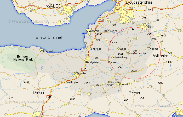
Somerset Map Showing Location of West Cranmore
District: Mendip
Easting: 366222 Northing: 142843
Latitude: 51.18 Longitude: -2.48
 = West Cranmore
Easting: 366222 Northing: 142843
Latitude: 51.18 Longitude: -2.48
= West Cranmore
This West Cranmore map below is supplied by Google. Use the tools in the top left corner to zoom into street level or zoom out for a road map, you may also need to zoom in to see West Cranmore on the map. Click and drag the map to move around. If the map fails to load try and refresh your browser or zoom in or out (+ or -).
Update - it seems Google no longer allow people to use their maps for free! This West Cranmore map sometimes loads and sometimes gives a error. I am working on a solution.
Closest 30 Towns or Cities to West Cranmore (Population over 500)
Evercreech 3.88km Leigh upon Mendip 4.38km Leigh-on-Mendip 4.38km Leigh on Mendip 4.38km Leigh 4.38km Shepun 4.65km Shepton Mallet 4.65km Coleford 5.45km Holcombe 5.56km Nunney 7.21km Pilton 7.21km Mells 8.04km Ditcheat 8.19km Stratton-on-the-Fosse 9.35km Stratton on the Fosse 9.35km Chilcompton 9.35km Stratton 9.35km Bruton 9.9km Redlynch 9.9km Kilmersdon 9.91km Kilmersden 9.91km Castle Cary 11.36km Chewton Mendip 11.6km Farrington Gurney 11.65km Frome 12.19km Wells 12.19km West Pennard 12.2km Wincanton 12.55km Paulton 13.03km Baltonsborough 13.78km