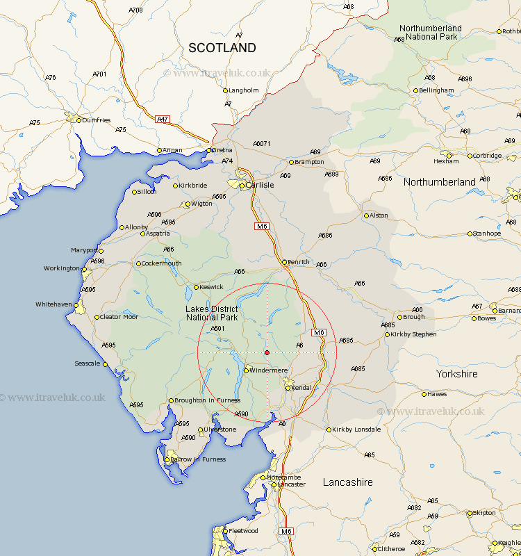
Cumbria Map Showing Location of Kentmere
Population: 95
District: South Lakeland
Easting: 345928 Northing: 502697
Latitude: 54.42 Longitude: -2.83
 = Kentmere
District: South Lakeland
Easting: 345928 Northing: 502697
Latitude: 54.42 Longitude: -2.83
= Kentmere
This Kentmere map below is supplied by Google. Use the tools in the top left corner to zoom into street level or zoom out for a road map, you may also need to zoom in to see Kentmere on the map. Click and drag the map to move around. If the map fails to load try and refresh your browser or zoom in or out (+ or -).
Update - it seems Google no longer allow people to use their maps for free! This Kentmere map sometimes loads and sometimes gives a error. I am working on a solution.
Closest 30 Towns or Cities to Kentmere (Population over 500)
Staveley 5.66km Windermere 7.75km Ambleside 8.63km Hawkshead 12.14km Kendal 12.36km Kendall 12.36km Shap 15.48km Coniston 16.1km Conistan 16.1km Tebay 16.18km Natland 16.19km Orton 18.12km Levens 18.82km Crosby Ravensworth 19.61km Heversham 20.85km Colton 21.81km Dacre 22.24km Milnthorpe 22.66km Millthrop 23.33km Milnthorpe 23.33km Sedbergh 23.33km Haverthwaite 23.61km Beetham 24.48km Arnside 25.95km Greystoke 26.03km Ravenstonedale 26.96km Holme 27.03km Holker 27.36km Lower Holker 27.36km Keswick 27.39km