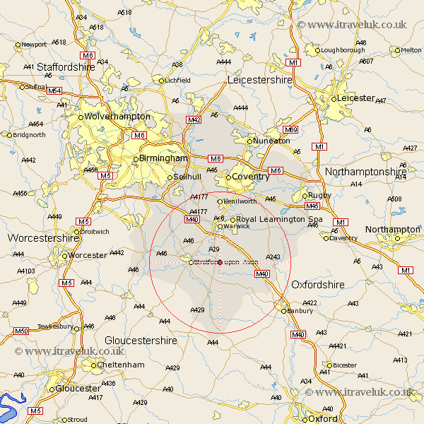
Warwickshire Map Showing Location of Wellesbourne Mountford
District: Stratford-on-Avon
Easting: 428484 Northing: 254021
Latitude: 52.18 Longitude: -1.58
 = Wellesbourne Mountford
Easting: 428484 Northing: 254021
Latitude: 52.18 Longitude: -1.58
= Wellesbourne Mountford
This Wellesbourne Mountford map below is supplied by Google. Use the tools in the top left corner to zoom into street level or zoom out for a road map, you may also need to zoom in to see Wellesbourne Mountford on the map. Click and drag the map to move around. If the map fails to load try and refresh your browser or zoom in or out (+ or -).
Update - it seems Google no longer allow people to use their maps for free! This Wellesbourne Mountford map sometimes loads and sometimes gives a error. I am working on a solution.
Closest 30 Towns or Cities to Wellesbourne Mountford (Population over 500)
Ettington 5.67km Eatington 5.67km Barford 5.67km Lighthorne 5.68km Bishops Tachbrook 6.52km Kineton 6.78km Stratford on Avon 7.95km Stratford-upon-Avon 7.95km Stratford-on-Avon 7.95km Stratford 7.95km Stratford upon Avon 7.95km Whitnash 8.7km Bishops Itchington 10.39km Harbury 10.65km Warwick 11.12km Snitterfield 11.64km Bearley 11.64km Claverdon 12.21km Tysoe 12.49km Middle Tysoe 12.49km Church Tysoe 12.49km Quinton 12.63km Ilmington 13.05km Leamington 13.42km Royal Leamington Spa 13.42km Leamington Spa 13.42km Hatton 13.75km Fenny Compton 14.13km Shrewley 14.16km Wootton Wawen 14.53km