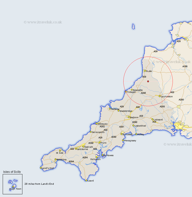
Cornwall Map Showing Location of Week St. Mary
District: North Cornwall
Easting: 223662 Northing: 97532
Latitude: 50.75 Longitude: -4.5
 = Week St. Mary
Easting: 223662 Northing: 97532
Latitude: 50.75 Longitude: -4.5
= Week St. Mary
This Week St. Mary map below is supplied by Google. Use the tools in the top left corner to zoom into street level or zoom out for a road map, you may also need to zoom in to see Week St. Mary on the map. Click and drag the map to move around. If the map fails to load try and refresh your browser or zoom in or out (+ or -).
Update - it seems Google no longer allow people to use their maps for free! This Week St. Mary map sometimes loads and sometimes gives a error. I am working on a solution.
Closest 30 Towns or Cities to Week St. Mary (Population over 500)
Pounstock 3.98km Poundstock 3.98km Markhamchurch 5.68km Marhamchurch 5.68km North Petherwin 8.78km Bude 9.55km Kilkhampton 14.87km Launceston 16.02km Altarnun 16.84km South Petherwin 16.95km Forrabury 16.96km Moorwinstow 17.04km Morwenstow 17.04km Lewannick 17.33km Camelford 19.66km Tintagel 19.89km Lezant 21.34km North Hill 22.73km Linkinhorne 25.87km Blisland 28.99km Callington 31.17km Cardingham 31.49km Cardinham 31.49km Dobwalls 33.38km Liskeard 33.54km Wadebridge 35.01km Bodmin 35.02km Menheniot 35.7km Bere Alston 36.43km Calstock 36.43km