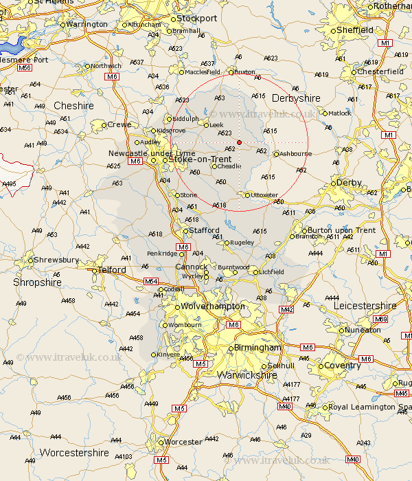
Staffordshire Map Showing Location of Waterfall
District: Staffordshire Moorlands
Easting: 407819 Northing: 350344
Latitude: 53.05 Longitude: -1.88
 = Waterfall
Easting: 407819 Northing: 350344
Latitude: 53.05 Longitude: -1.88
= Waterfall
This Waterfall map below is supplied by Google. Use the tools in the top left corner to zoom into street level or zoom out for a road map, you may also need to zoom in to see Waterfall on the map. Click and drag the map to move around. If the map fails to load try and refresh your browser or zoom in or out (+ or -).
Update - it seems Google no longer allow people to use their maps for free! This Waterfall map sometimes loads and sometimes gives a error. I am working on a solution.
Closest 30 Towns or Cities to Waterfall (Population over 500)
Waterhouses 2.17km Ipstones 5.87km Oakamoor 5.99km Kingsley 7.64km Alton 9.26km Denstone 9.53km Denston 9.53km Mayfield 9.58km Cheadle 9.99km Cheddleton 10.03km Leek 10.5km Rocester 11.61km Draycott in the Moors 13.66km Draycott 13.66km Checkley 13.72km Caverswall 14.33km Horton 15.28km Church Leigh 15.84km Leigh 15.84km Endon 16.02km Fulford 16.56km Uttoxeter 16.83km Hilderstone 19.97km Biddulph 20.33km Stoke-on-Trent 20.82km Stoke on Trent 20.82km Stoke-upon-Trent 20.82km Stoke 20.82km Stoke upon Trent 20.82km Marchington 21.13km