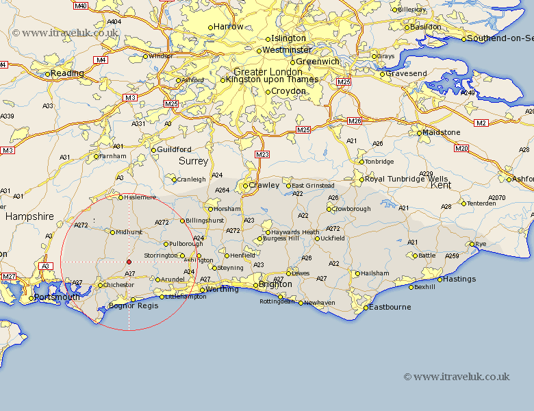
Sussex Map Showing Location of Waltham
District: Chichester
Easting: 493749 Northing: 112077
Latitude: 50.9 Longitude: -0.67
 = Waltham
Easting: 493749 Northing: 112077
Latitude: 50.9 Longitude: -0.67
= Waltham
This Waltham map below is supplied by Google. Use the tools in the top left corner to zoom into street level or zoom out for a road map, you may also need to zoom in to see Waltham on the map. Click and drag the map to move around. If the map fails to load try and refresh your browser or zoom in or out (+ or -).
Update - it seems Google no longer allow people to use their maps for free! This Waltham map sometimes loads and sometimes gives a error. I am working on a solution.
Closest 30 Towns or Cities to Waltham (Population over 500)
Graffham 3.88km Slindon 6.03km Boxgrove 6.57km Tangmere 6.57km Walberton 6.57km Bury 7.01km Eastergate 7.51km Oving 8.21km Fittleworth 8.95km Westergate 9.35km Amberley 9.53km Barnham 9.55km Lavant 9.9km Arundel 9.9km Tillington 9.9km Coldwaltham 10.05km Petworth 10.37km Midhurst 10.38km Ford 10.96km Chichester 11.05km Pulborough 11.89km Bognor Regis 11.92km Fishbourne 11.94km Yapton 12.06km Iping 12.35km North Mundham 12.56km Mundham 12.56km Lurgashall 12.98km Stoughton 12.99km Bognor 13.03km