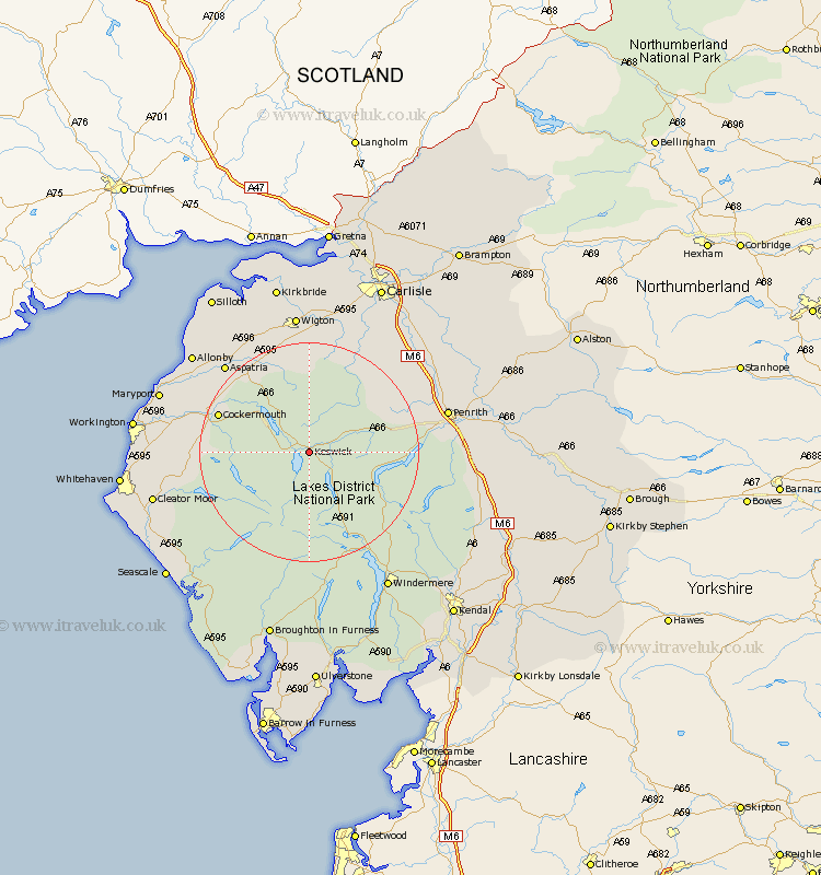
Cumbria Map Showing Location of Keswick
Population: 5508
Area Size (ha): 143
District: Allerdale
Easting: 327867 Northing: 523344
Latitude: 54.6 Longitude: -3.12
 = Keswick
Area Size (ha): 143
District: Allerdale
Easting: 327867 Northing: 523344
Latitude: 54.6 Longitude: -3.12
= Keswick
This Keswick map below is supplied by Google. Use the tools in the top left corner to zoom into street level or zoom out for a road map, you may also need to zoom in to see Keswick on the map. Click and drag the map to move around. If the map fails to load try and refresh your browser or zoom in or out (+ or -).
Update - it seems Google no longer allow people to use their maps for free! This Keswick map sometimes loads and sometimes gives a error. I am working on a solution.
Closest 30 Towns or Cities to Keswick (Population over 500)
Caldbeck 15.43km Hesket Newmarket 16.16km Cockermouth 16.75km Greystoke 17.03km Dacre 18.34km Bridekirk 18.56km Lamplugh 18.63km Skelton 19.55km Brigham 20.1km Dean 20.4km Westward 20.41km Aspatria 21.73km Ambleside 22.57km Dearham 23.21km Bromfield 24.24km Broughton Moor 24.35km Frizington 24.77km Crosscanonby 25.19km Wigton 26.03km Conistan 26.14km Coniston 26.14km Thursby 26.29km Distington 26.91km Hawkshead 27.01km Maryport 27.05km Dalston 27.32km Flimby 27.36km Cleator Moor 27.4km Windermere 28.98km Workington 29.5km