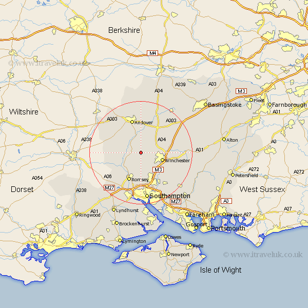
Hampshire Map Showing Location of Upper Somborne
District: Test Valley
Easting: 439687 Northing: 131765
Latitude: 51.08 Longitude: -1.43
 = Upper Somborne
Easting: 439687 Northing: 131765
Latitude: 51.08 Longitude: -1.43
= Upper Somborne
This Upper Somborne map below is supplied by Google. Use the tools in the top left corner to zoom into street level or zoom out for a road map, you may also need to zoom in to see Upper Somborne on the map. Click and drag the map to move around. If the map fails to load try and refresh your browser or zoom in or out (+ or -).
Update - it seems Google no longer allow people to use their maps for free! This Upper Somborne map sometimes loads and sometimes gives a error. I am working on a solution.
Closest 30 Towns or Cities to Upper Somborne (Population over 500)
Kings Somborne 3.95km Sparsholt 3.95km Stockbridge 3.95km Michelmersh 7.25km Michlemersh 7.25km Chilbolton 7.42km Hursley 7.76km Broughton 8.15km Winchester 8.67km Kings Worthy 9.31km Lower Clatford 9.91km Clatford 9.91km Goodworth Clatford 9.91km Nether Wallop 10.02km Compton 10.18km Barton Stacey 10.38km Otterbourne 10.94km Wonston 11.01km Twyford 11.02km Longparish 11.36km Upper Clatford 11.65km Romsey 12.06km Abbots Ann 12.55km Abbotts Ann 12.55km Micheldever 12.9km Over Wallop 12.9km Andover 13.44km Eastleigh 14.22km Bishopstoke 14.73km Chilworth 14.87km