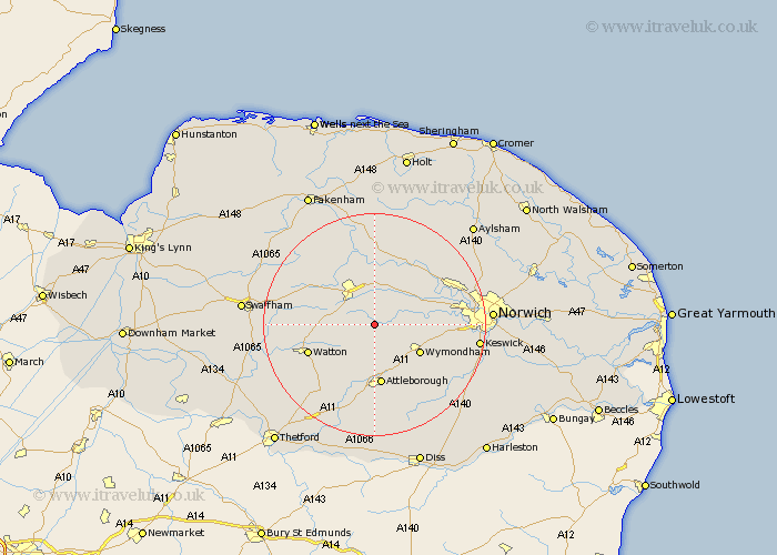
Norfolk Map Showing Location of Thuxton
District: Breckland
Easting: 603065 Northing: 306368
Latitude: 52.62 Longitude: 1
 = Thuxton
Easting: 603065 Northing: 306368
Latitude: 52.62 Longitude: 1
= Thuxton
This Thuxton map below is supplied by Google. Use the tools in the top left corner to zoom into street level or zoom out for a road map, you may also need to zoom in to see Thuxton on the map. Click and drag the map to move around. If the map fails to load try and refresh your browser or zoom in or out (+ or -).
Update - it seems Google no longer allow people to use their maps for free! This Thuxton map sometimes loads and sometimes gives a error. I am working on a solution.
Closest 30 Towns or Cities to Thuxton (Population over 500)
Hingham 3.88km Yaxham 4.33km Mattishall 4.33km Shipdham 6.75km Hockering 7.15km East Dereham 8.66km Dereham 8.66km Carbooke 8.71km Carbrooke 8.71km Great Ellingham 9.54km Wymondham 9.64km Rockland 10.85km Rockland Saint Peter 10.85km Rockland St Peter 10.85km Rockland St. Peter 10.85km Attleborough 11.18km Besthorpe 11.35km Griston 11.67km Lyng 11.99km Beetley 12.46km Hethersett 12.52km Watton 12.56km Bawdeswell 13.16km North Elmham 13.4km Taverham 13.56km Ashill 13.63km Necton 15.08km Costessey 15.08km Witchingham 15.16km Hockham 15.18km