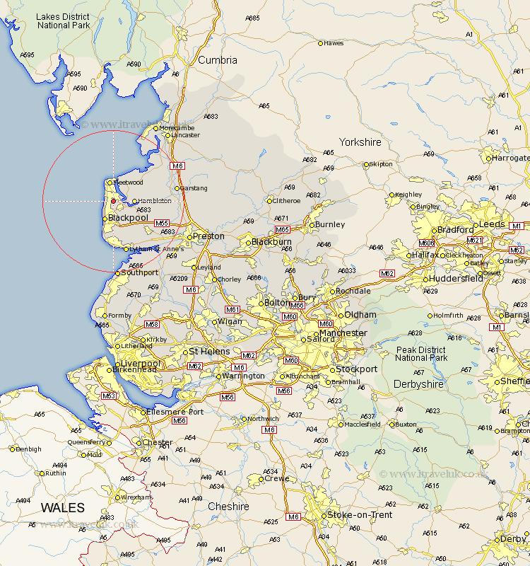
Lancashire Map Showing Location of Thornton
Population: 27287
Area Size (ha): 877
District: Wyre
Easting: 333152 Northing: 441667
Latitude: 53.87 Longitude: -3.02
 = Thornton
Area Size (ha): 877
District: Wyre
Easting: 333152 Northing: 441667
Latitude: 53.87 Longitude: -3.02
= Thornton
This Thornton map below is supplied by Google. Use the tools in the top left corner to zoom into street level or zoom out for a road map, you may also need to zoom in to see Thornton on the map. Click and drag the map to move around. If the map fails to load try and refresh your browser or zoom in or out (+ or -).
Update - it seems Google no longer allow people to use their maps for free! This Thornton map sometimes loads and sometimes gives a error. I am working on a solution.
Closest 30 Towns or Cities to Thornton (Population over 500)
Cleveleys 2.18km Poulton le Fylde 4.31km Poulton 4.31km Hambleton 5.46km Fleetwood 5.63km Blackpool 5.98km Preesall 6.45km Singleton 6.61km Great Singleton 6.61km Elswick 9.5km Pilling 9.89km Great Eccleston 10.01km Eccleston 10.01km Plumpton 10.77km Inskip 12.59km Kirkham 13.53km Warton 14.15km Lytham Saint Anne's 15.19km Lytham 15.19km Lytham St. Anne's 15.19km Lytham St Anne's 15.19km Cockerham 16.04km Freckleton 16.29km Catterall 16.39km Garstang 16.8km Middleton 17.2km Forton 17.87km Lea 18.05km Lea Town 18.05km Overton 18.4km