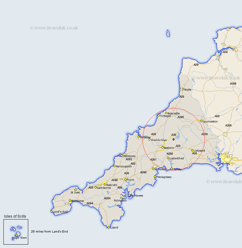
Cornwall Map Showing Location of Temple
District: North Cornwall
Easting: 214518 Northing: 71882
Latitude: 50.52 Longitude: -4.62
 = Temple
Easting: 214518 Northing: 71882
Latitude: 50.52 Longitude: -4.62
= Temple
This Temple map below is supplied by Google. Use the tools in the top left corner to zoom into street level or zoom out for a road map, you may also need to zoom in to see Temple on the map. Click and drag the map to move around. If the map fails to load try and refresh your browser or zoom in or out (+ or -).
Update - it seems Google no longer allow people to use their maps for free! This Temple map sometimes loads and sometimes gives a error. I am working on a solution.
Closest 30 Towns or Cities to Temple (Population over 500)
Cardingham 4.4km Cardinham 4.4km Blisland 4.71km Bodmin 9km Dobwalls 10.25km Altarnun 10.97km Camelford 12.07km Lanivet 12.95km Lostwithiel 13.45km North Hill 13.48km Liskeard 13.93km Saint Blazey 14.78km St Blazey 14.78km St. Blazey 14.78km Lanreath 15.25km Wadebridge 15.32km Lewannick 15.92km Menheniot 16.92km Lansallos 17.05km Duloe 17.58km Pelynt 17.69km Linkinhorne 17.77km Morval 18.96km Tywardreath 19.13km Tintagel 19.15km Stenalees 19.35km Bugle 19.71km Forrabury 19.82km Par 19.84km South Petherwin 19.88km