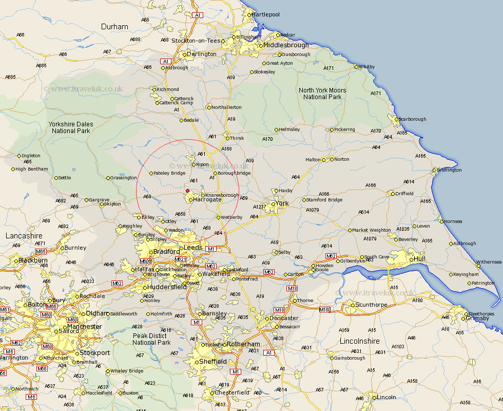
Yorkshire Map Showing Location of Killinghall
Population: 4997
District: Harrogate
Easting: 429482 Northing: 457965
Latitude: 54.02 Longitude: -1.55
 = Killinghall
District: Harrogate
Easting: 429482 Northing: 457965
Latitude: 54.02 Longitude: -1.55
= Killinghall
This Killinghall map below is supplied by Google. Use the tools in the top left corner to zoom into street level or zoom out for a road map, you may also need to zoom in to see Killinghall on the map. Click and drag the map to move around. If the map fails to load try and refresh your browser or zoom in or out (+ or -).
Update - it seems Google no longer allow people to use their maps for free! This Killinghall map sometimes loads and sometimes gives a error. I am working on a solution.
Closest 30 Towns or Cities to Killinghall (Population over 500)
Killinghall 0km Hampsthwaite 3.27km Harrogate 3.87km Birstwith 4.73km Knaresborough 5.75km Burton Leonard 6.45km Pannal 7.49km Monkton 8.1km Bishop Monkton 8.1km Darley 9.97km Weeton 11.17km Ripon 11.33km Dacre 11.5km Boroughbridge 12.28km Marton 13.2km Marton le Moor 13.2km Arthington 13.38km Arthington Junction Station 13.38km Harewood 13.38km Pool-in-Wharfedale 13.69km Poole 13.69km Pool 13.69km Whixley 15.24km Bramhope 15.46km Wetherby 15.57km Otley 15.63km Great Ouseburn 15.68km Ouseburn 15.68km Bewerley 15.97km Collingham 16.27km