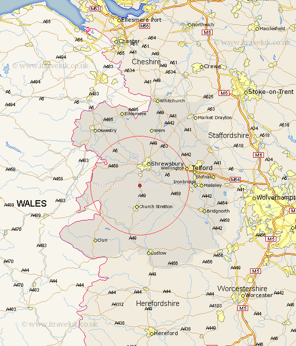
Shropshire Map Showing Location of Stapleton
District: Shrewsbury and Atcham
Easting: 346991 Northing: 304276
Latitude: 52.63 Longitude: -2.78
 = Stapleton
Easting: 346991 Northing: 304276
Latitude: 52.63 Longitude: -2.78
= Stapleton
This Stapleton map below is supplied by Google. Use the tools in the top left corner to zoom into street level or zoom out for a road map, you may also need to zoom in to see Stapleton on the map. Click and drag the map to move around. If the map fails to load try and refresh your browser or zoom in or out (+ or -).
Update - it seems Google no longer allow people to use their maps for free! This Stapleton map sometimes loads and sometimes gives a error. I am working on a solution.
Closest 30 Towns or Cities to Stapleton (Population over 500)
Condover 2.92km Baystonhill 4.34km Berrington 5.92km Hanwood 6km Great Hanwood 6km Pontesbury 7km Church Stretton 9.33km Shrewsbury 9.87km Minsterley 10.12km Ford 10.31km Cressage 11.25km Bicton 11.35km Westbury 12.54km Rushbury 13.73km Alberbury 14.57km Shelve 14.6km Hadnall 15.5km Rodington 15.81km Much Wenlock 16.18km Wrockwardine 16.39km Great Ness 16.79km Baschurch 17.6km Ercall Magna 17.92km High Ercall 17.92km Shawbury 18.94km Diddlebury 19.06km Wistanstow 19.07km Wellington 19.45km Broseley 20.33km Ditton Priors 20.84km