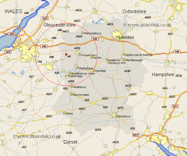
Wiltshire Map Showing Location of Slaughterford
District: North Wiltshire
Easting: 383787 Northing: 172415
Latitude: 51.45 Longitude: -2.23
 = Slaughterford
Easting: 383787 Northing: 172415
Latitude: 51.45 Longitude: -2.23
= Slaughterford
This Slaughterford map below is supplied by Google. Use the tools in the top left corner to zoom into street level or zoom out for a road map, you may also need to zoom in to see Slaughterford on the map. Click and drag the map to move around. If the map fails to load try and refresh your browser or zoom in or out (+ or -).
Update - it seems Google no longer allow people to use their maps for free! This Slaughterford map sometimes loads and sometimes gives a error. I am working on a solution.
Closest 30 Towns or Cities to Slaughterford (Population over 500)
Colerne 2.96km Box 3.88km Yatton Keynell 4.36km Corsham 4.98km Nettleton 6.02km Whitley 7.74km Atworth 7.77km Chippenham 8.08km Laycock 9.82km Lacock 9.82km Broughton Gifford 9.89km Stanton Saint Quintin 10.15km Stanton St. Quintin 10.15km Stanton St Quintin 10.15km Stanton 10.15km Hullavington 10.91km Luckington 11.18km Holt 11.36km Melksham 11.57km Sutton Benger 11.78km Semington 12.53km Sherston 13.03km Bradford on Avon 13.18km Bradford-on-Avon 13.18km Bremhill 13.86km Christian Malford 13.86km Limpley Stoke 14.72km Somerford 14.8km Great Somerford 14.8km Trowbridge 14.82km