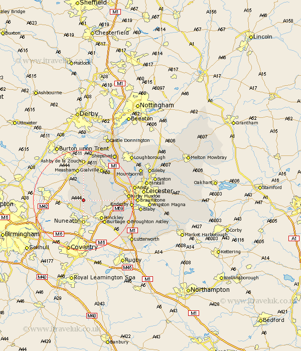
Leicestershire Map Showing Location of Sibson
District: Hinckley and Bosworth
Easting: 436118 Northing: 300418
Latitude: 52.6 Longitude: -1.47
 = Sibson
Easting: 436118 Northing: 300418
Latitude: 52.6 Longitude: -1.47
= Sibson
This Sibson map below is supplied by Google. Use the tools in the top left corner to zoom into street level or zoom out for a road map, you may also need to zoom in to see Sibson on the map. Click and drag the map to move around. If the map fails to load try and refresh your browser or zoom in or out (+ or -).
Update - it seems Google no longer allow people to use their maps for free! This Sibson map sometimes loads and sometimes gives a error. I am working on a solution.
Closest 30 Towns or Cities to Sibson (Population over 500)
Sheepy 3.38km Twycross 4.33km Market Bosworth 4.87km Stoke Golding 5.83km Shackerstone 6km Higham-on-the-Hill 6km Higham on the Hill 6km Barlestone 7.7km Appleby Magna 8.15km Ibstock 8.67km Newbold Verdon 9.19km Heather 9.86km Hinckley 10.03km Bagworth 10.58km Ravenstone with Snibston 11.99km Ravenstone 11.99km Burbage 12.17km Desford 12.52km Elmsthorpe 12.56km Elmesthorpe 12.56km Packington 12.98km Measham 13.17km Donisthorpe 13.73km Markfield 14.43km Coalville 14.62km Stoney Stanton 15.42km Sharnford 15.47km Sapcote 16.39km Ashby de la Zouch 16.68km Croft 16.72km